

George Wilkinson dons full waterproofs before braving Howden Hill, otherwise known as the Sugar Loaf.
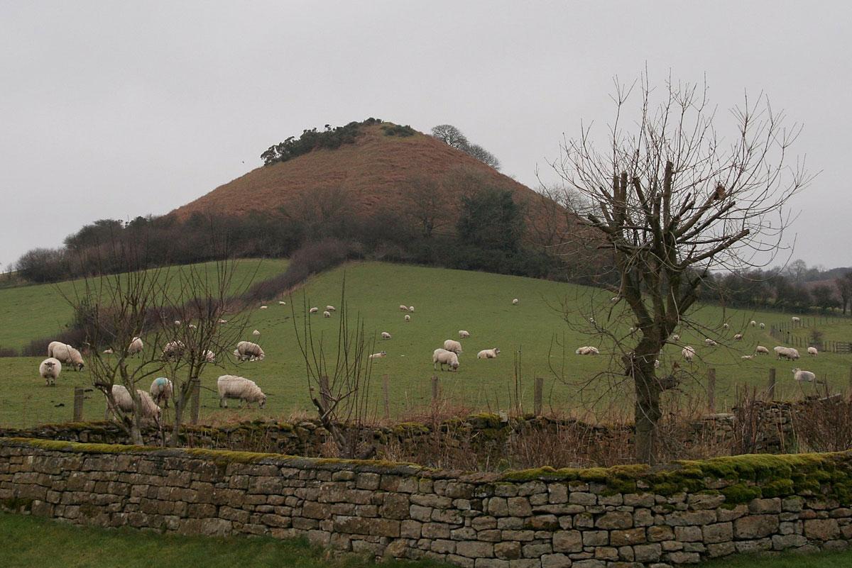
LANGDALE END is dominated by Howden Hill, a conical mound that has excited the imagination of mystics and which sports various local names, the most polite being the Sugar Loaf.
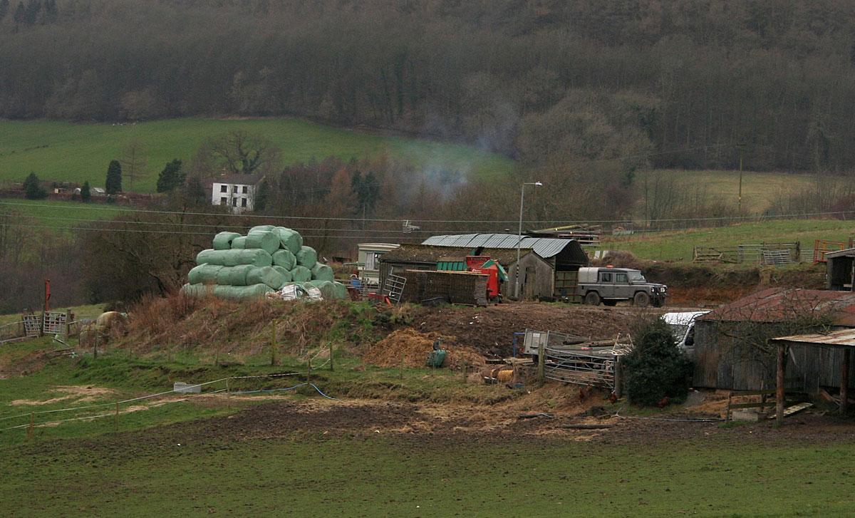
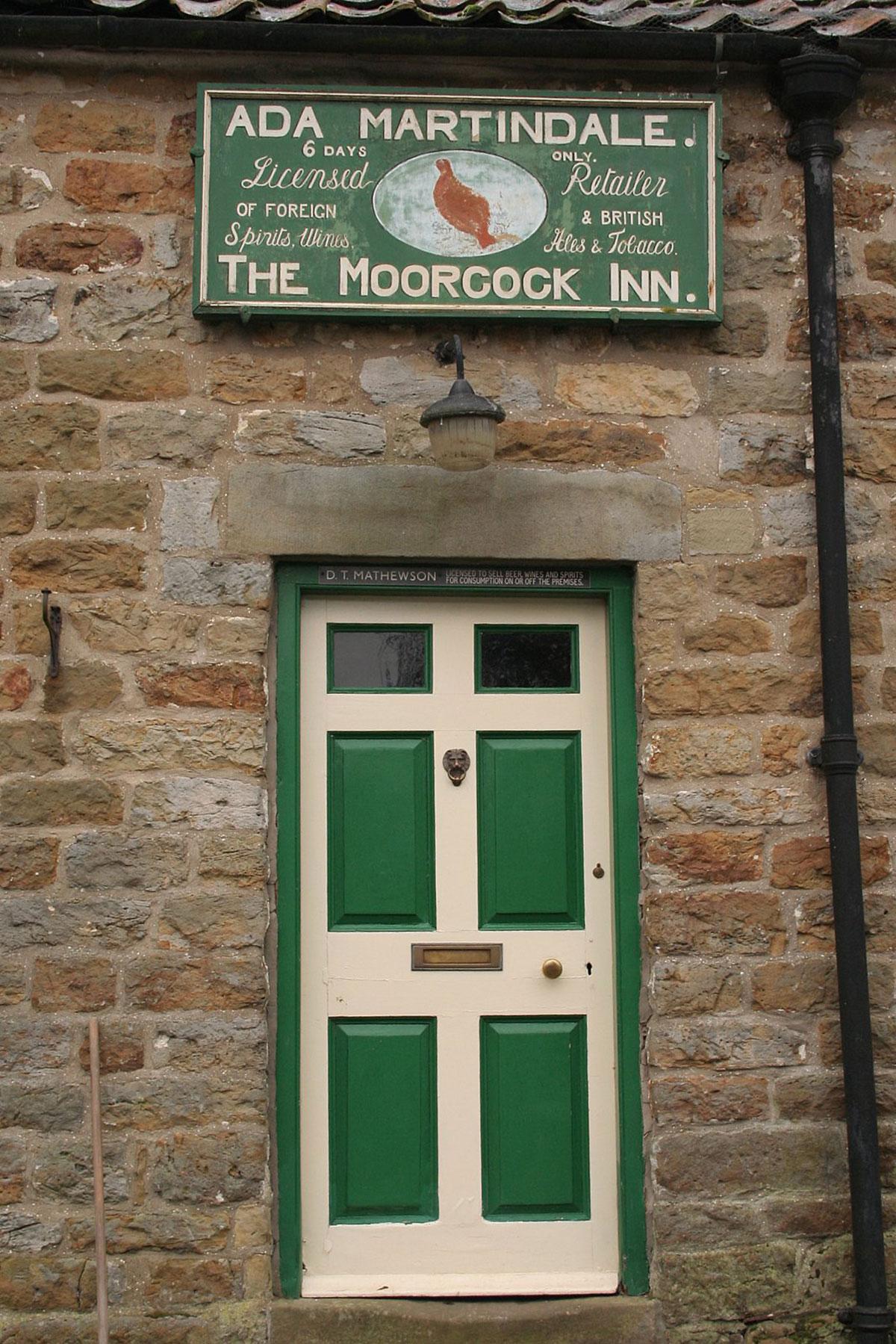
Otherwise, the village appears but a farm, a house or two, three places of worship and a notably traditional pub.
Outside the Moorcock Inn is a blue enamelled sign stating “Yorkshire Penny Bank open here every Thursday evening from 7.0 to 7.30”; one could believe it. “No coins accepted” though at a red telephone box. A planning notice for York Potash Ltd was also pinned up.
The landscape seems to focus on Langdale End, which until the late 20th century was named Low Langdale End. Valleys come in from various directions including that of the River Derwent.
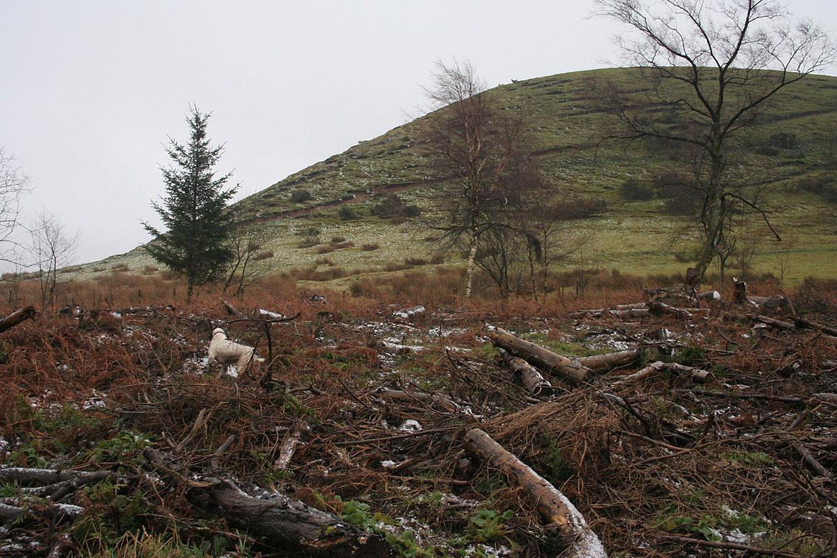
Then, as we walked north into the North York Moors, it became all so simple, straight up on a forestry track, steady away, sheltered by the conifers.
And that was the idea, a simple route, with some protection and a minimum of mud.
We stopped under a Sitka spruce, a tree that in my youth was the most despised in the land, for the monocultured and regimented plantations but, in these days of deluge, a forest’s capacity to mitigate flooding has been reappraised.
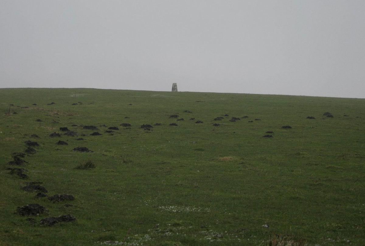
We had stopped to pull on full waterproofs, before the turn up to the top spot on Langdale Rigg End where the trig point is set at 735 feet on a flat upland pasture.
This was bleak, we put our heads down. The mist, the cloud, was swirling in the valleys either side; there was a storm coming fast from the desolate south.
Soon though, the ridge track entered conifers, cutting the views and the wind. The borrowed dog sniffed for the scent of passing deer or creature of the night, but we saw no wildlife, not a hint of spring, but we were marching not delving, when the surface allowed.
The last mile was along and down off a sharper ridge of pasture, good for views on a better day, and nowadays you have the option (there’s a map posted), of a permissive path up the Sugar Loaf.
Directions
When in doubt look at the map. Check your position at each point. Keep straight on unless otherwise directed. (wm=waymark, fp=fingerpost).
1. From phone box/parking area, pass pub, road through village. First road on right (sign Birch Hall).
2. At bend, straight on uphill (wm Moor to Sea). Road becomes track. Into forest, 1¼ miles.
3. At junction, with large stone marking signed path on left, fork right uphill to lesser track by felled area, 300 yards, becomes rutted for short distance.
4. Path (fp) on right uphill through trees/felled area for 100 yards, right to track uphill for 300 yards.
5. At top, fieldgate (wm) into field and diagonally sharp right over flat pasture for ¼ mile. Stile (wm) about 50 yards from fence to your right, into wood and straight on gradually downhill for ¾ mile. Stile/gate out of wood, grassy track across field and along ridge.
6. Track dips and turns left by gorse, across grass to field corner (wm post) and right by fence/trees to your right, gate (wm), 100 yards, gate (wm), by fence, gate, left to road to rejoin outward route.
Fact file
Distance: Five miles.
Car parking: Car park in Langdale End.
Right of way: Public.
Date walked: February 2014.
Tourist information: Pickering TIC 01751 473791.
Refreshments: The Moorcock Inn at Langdale End.
Map: OS Explorer OL27 North York Moors eastern area.
Terrain: Valley and ridge.
Difficulty: Moderate.
Please observe the Country Code and park sensibly. While every effort is made to provide accurate information, walkers set out at their own risk.


Comments: Our rules
We want our comments to be a lively and valuable part of our community - a place where readers can debate and engage with the most important local issues. The ability to comment on our stories is a privilege, not a right, however, and that privilege may be withdrawn if it is abused or misused.
Please report any comments that break our rules.
Read the rules hereComments are closed on this article