
AT some time (thought to be during the 1300s), a defensive town wall with four gates and associated ditches was built around Malton.
Its location is shown on the map (pictured) and can best be seen today on the land sloping down to the river from The Talbot.

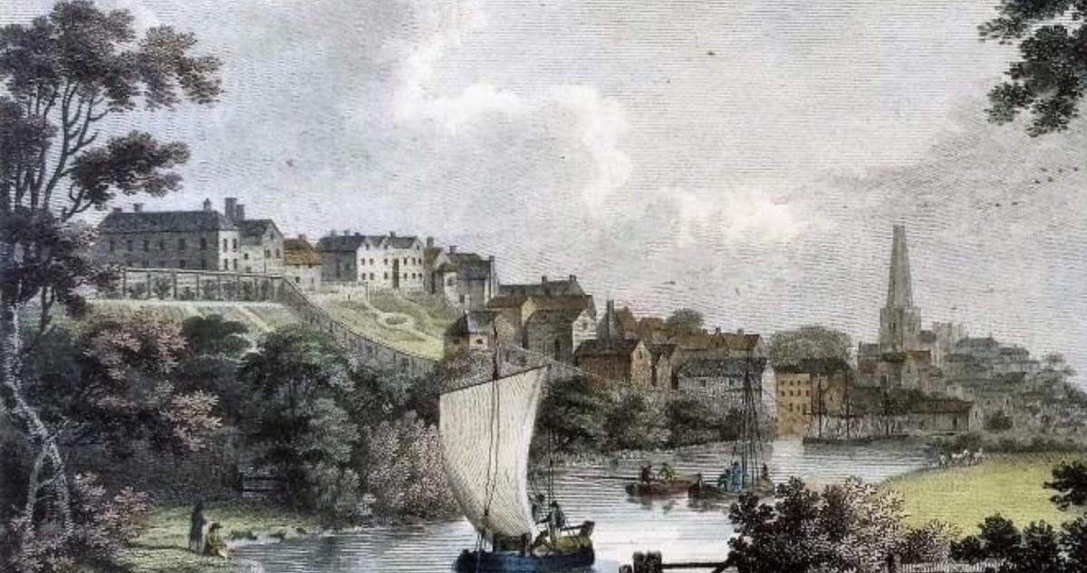
It became a hotel around 1740 and is depicted in an engraving of a late eighteenth century portrait by Francis Nicholson.
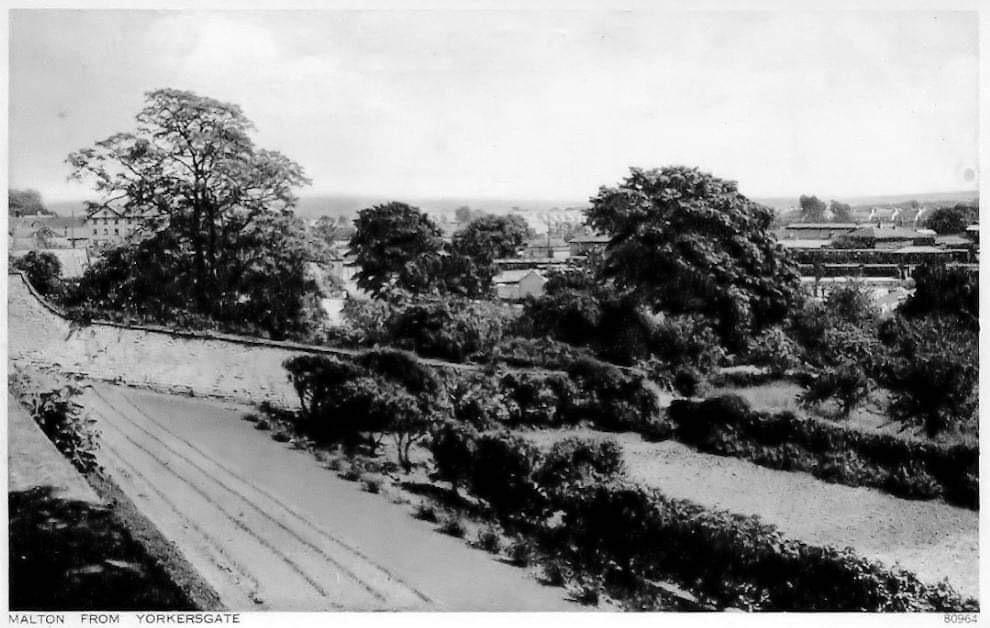
A post card (pictured) also shows the wall and other signs of it come:
- In the rear yards of the hostelries at the rear of the Market Place (top side),
- As a small blocked, arched entrance in the rear wall of H.S.B.C. opposite the Cattle Market,
- In the footings of the Friends' Meeting House in Greengate and,
- Some houses in East Mount were built in the wall's ditch and their foundations have deteriorated as a result of this.
A section of wall would have had to be demolished in order to build The Talbot, and it is accepted that fragments of the defensive structure remain underneath the building.
When recent developments were being made in the Talbot Yard area there was a suggestion that cellars under The Talbot could have originally been part of the pedestrian gate through the wall in Yorkersgate, as according to the Malton Buildings Group.

If this is the case, this feature probably represents a unique and well-preserved part of the wall.
Obviously, it lies below present street levels because the occupational levels of land have risen since the 1700s: this is a natural process caused by development.
Howard Campion is a trustee at the Malton and Norton Heritage Centre.
Read more from Howard: 'OH! Traffic jam.’ A look back at Butcher Corner in Malton


Comments: Our rules
We want our comments to be a lively and valuable part of our community - a place where readers can debate and engage with the most important local issues. The ability to comment on our stories is a privilege, not a right, however, and that privilege may be withdrawn if it is abused or misused.
Please report any comments that break our rules.
Read the rules here