
THE Beast from the East did its best to curtail my cycling activities in March, and I didn’t manage to travel to ride a preview of one of the Tour de Yorkshire stages, as originally intended. See the official website for the route of the race which runs from May 3-6. I’ll come back to that for next month’s issue.
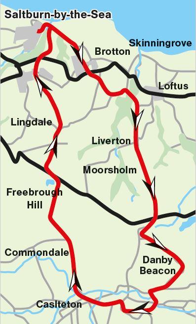
Today’s objective is to ride from sea level at Saltburn, to the magnificent viewpoint of Danby Beacon, at some 299 metres altitude, or 980 feet in old money.
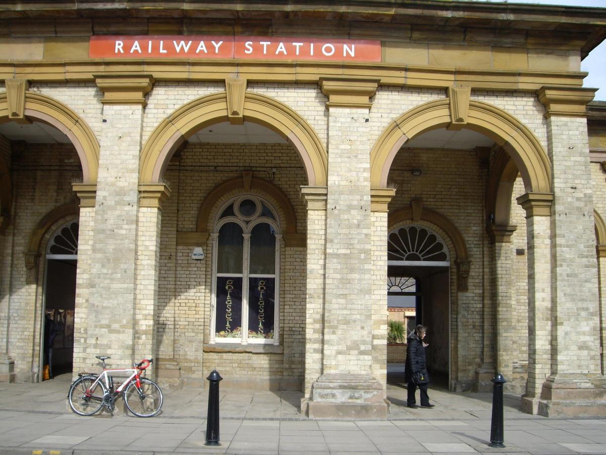
Start from Saltburn railway station. Part of the original station building is now occupied by Signals Bistro, a good place for a coffee and bacon sandwich. From the station, head east, along Dundas Street. At T-junction, turn left and pick up the sign for Whitby. Descend Saltburn Bank, 25 per cent gradient, with care.
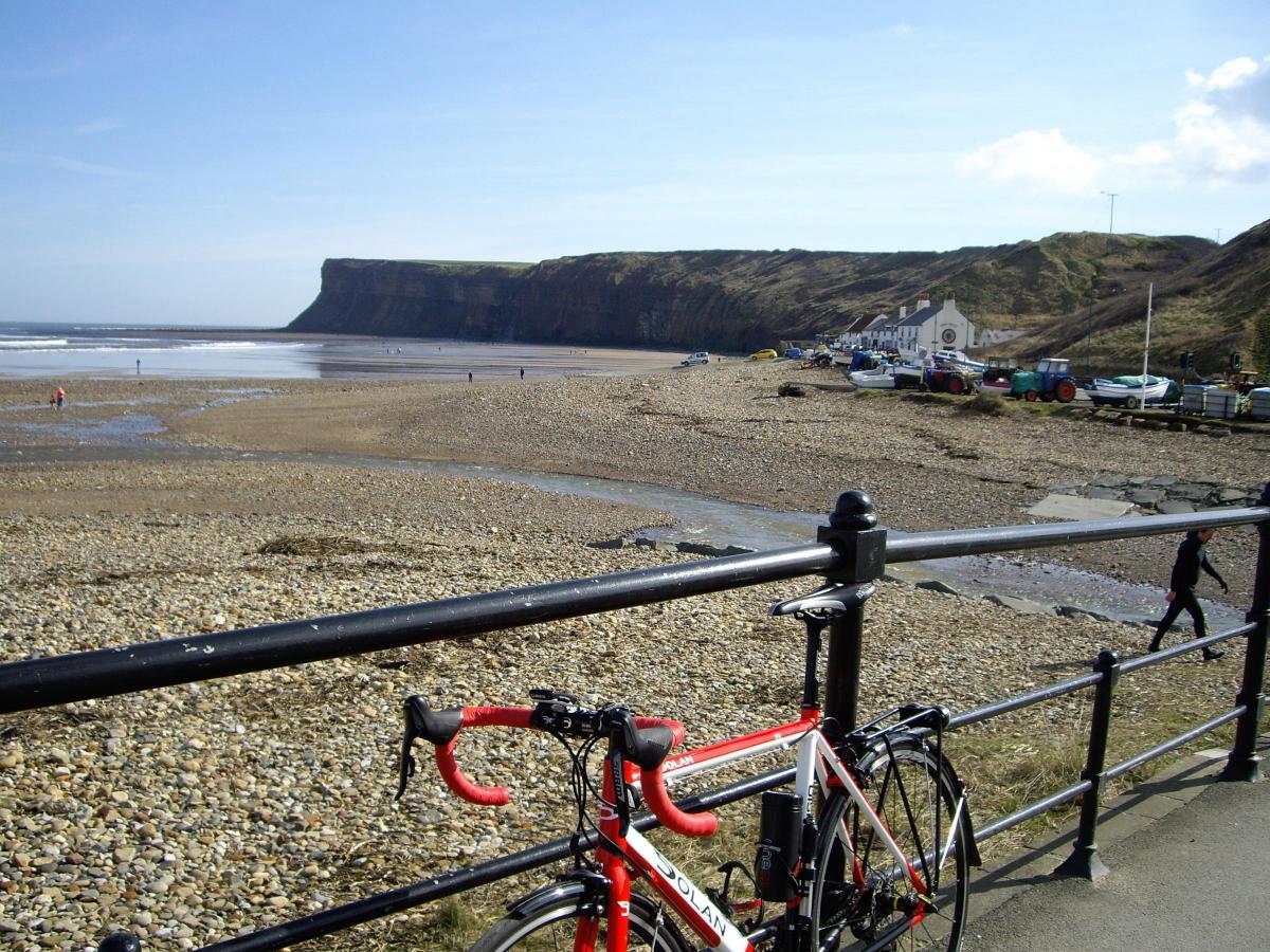
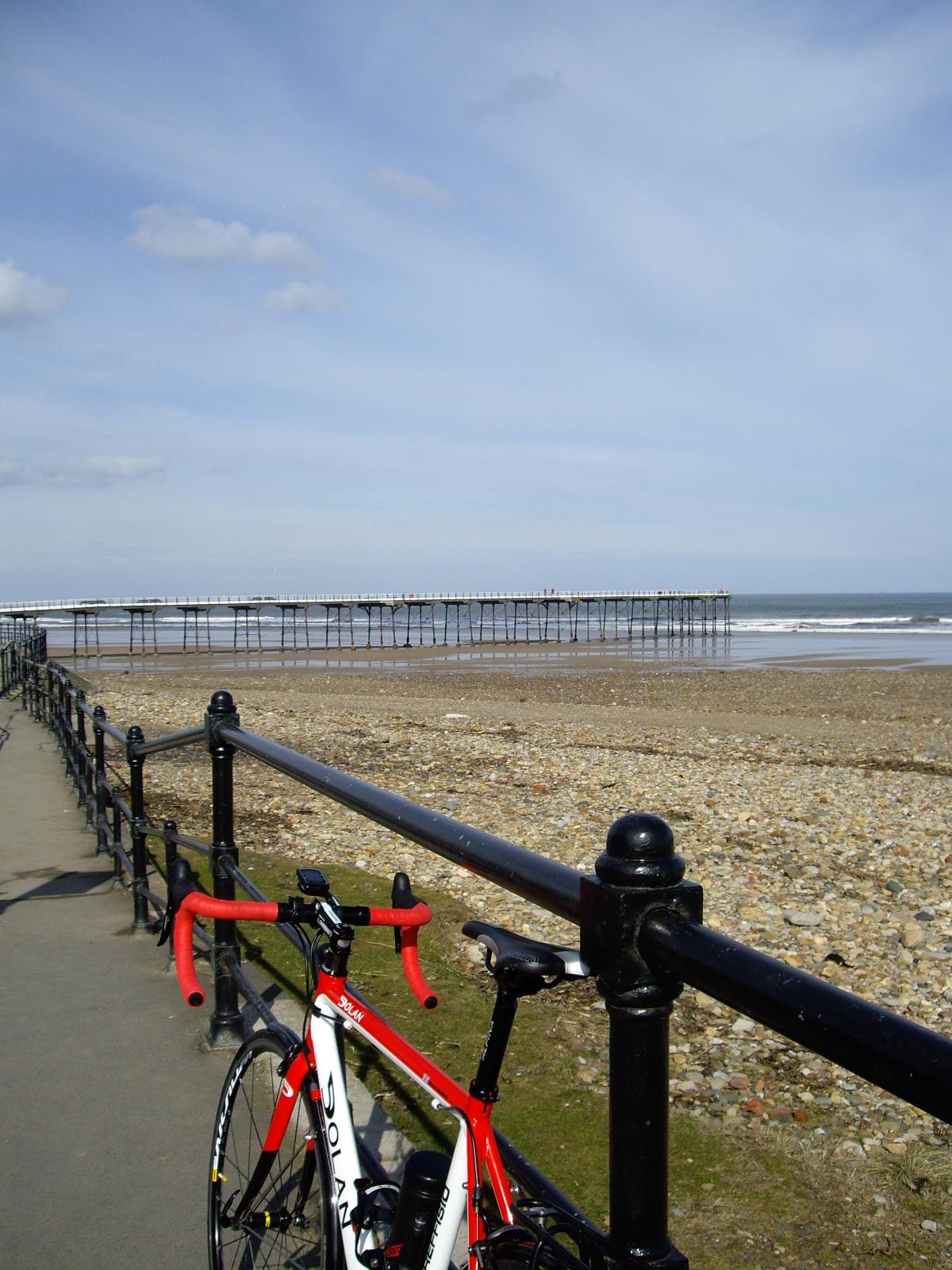
If you pause at the bottom, there are nice views of the pier and Huntcliff. Continue towards Huntcliff, passing the Ship Inn, to start the climb up towards Brotton. It’s a long gradual climb with a maximum gradient of 20 per cent, so engage low gear and take it steady.
At the outskirts of Brotton, on a left hand bend, bear right instead, onto Coach Road. There are some pinch points to reduce speed of traffic, and at the third of these, look for the blue Sustrans sign on lamp post and follow this path through a pedestrian tunnel under the railway.
Bear right, to pass Brotton Working Mens’ Club. Emerge onto the High Street to go right and quickly left at the Railway Arms, onto Errington Street. Continue to the far end, left at T-junction onto a back lane, then bear right towards the health centre. Continue left through the health centre car park on a one-way system. Follow signs for exit, and out onto Alford Road.
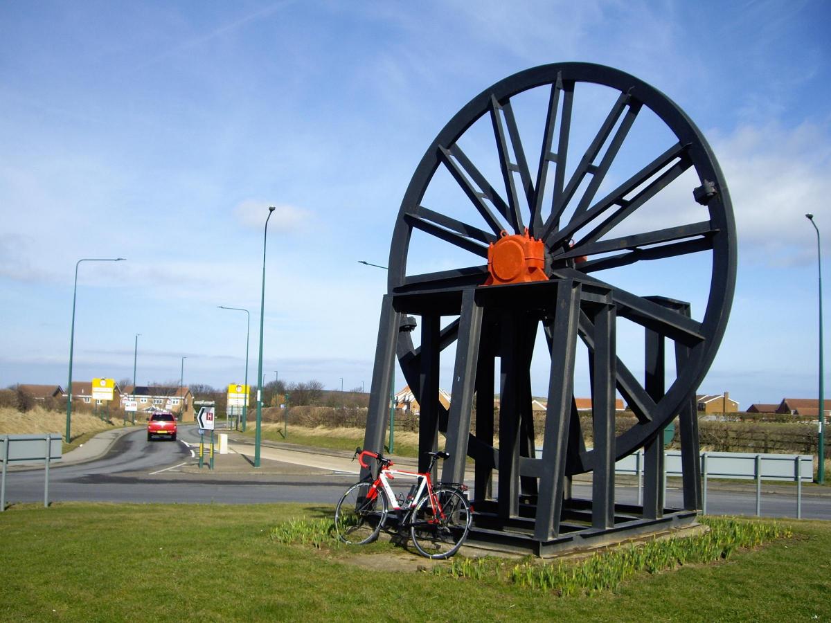
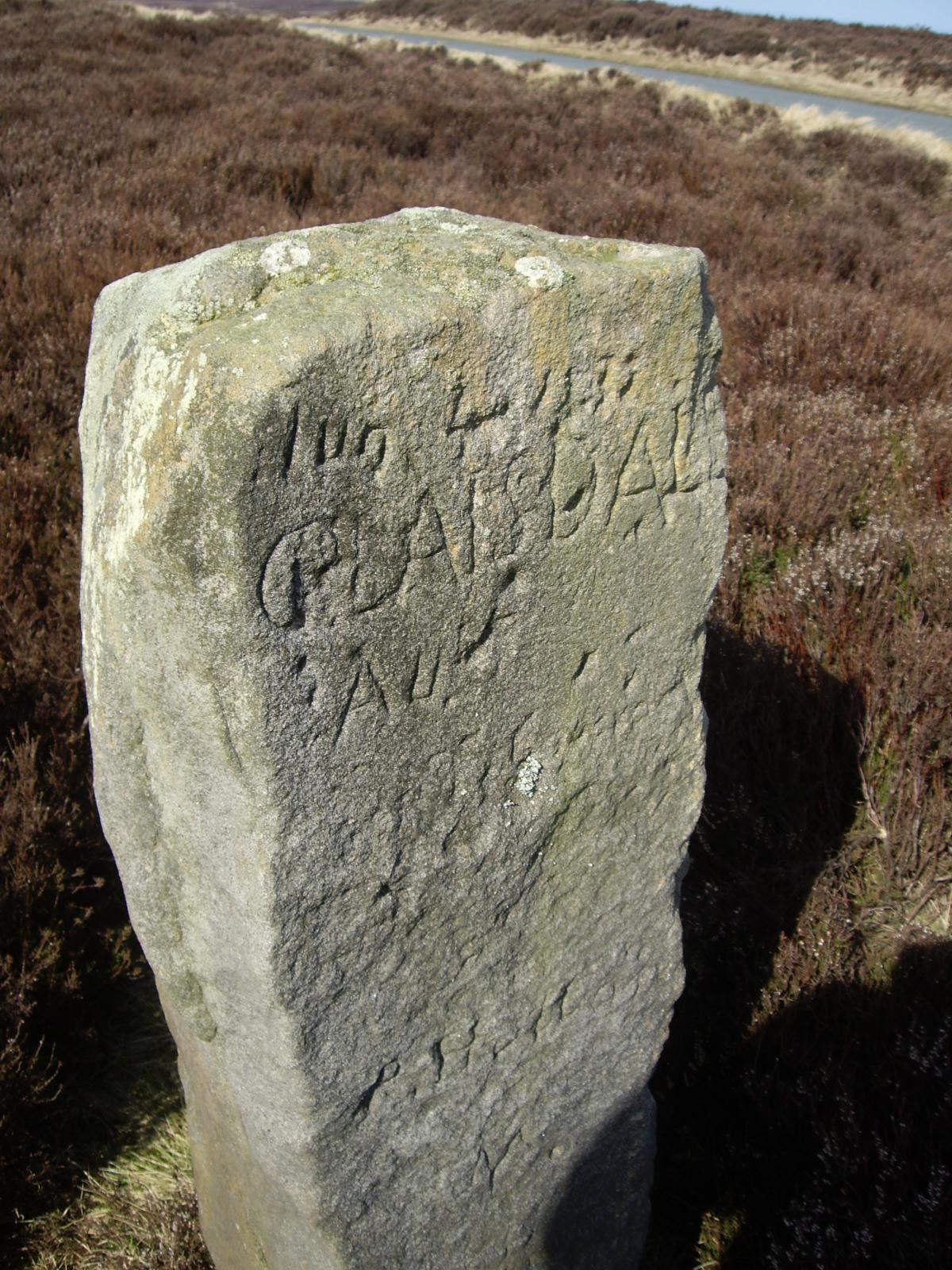
Keep straight on, climbing gently to pass Lansdowne Road on right, then Newbury Road on left. At T-junction, right (due south), to leave Brotton, by crossing straight over the A174 at a roundabout. Here is a sculpture commemorating the local ironstone mining industry.
Pick up a sign for Kilton Thorpe, then quickly turn off left at a pylon (unsigned). Descend to the hamlet of Kilton, then left again, unsigned but due east. In half a mile, reach the edge of some woods on the right, where a footpath turns off. We don’t want this one, but do want the next path on the right, in another 200 yards.
Now here’s a choice. If it’s wet, or you have cleated (slippery) road cycling shoes, or if you are nervous about carrying your bike down about 50 concrete steps, just stay on the road. In which case you’ll come to a sign for Loftus. This is a busy road, with big climb into Loftus.
In the centre of Loftus is a crossroads controlled by lights, where right signed Liverton (B1366).
However, fortune favours the brave, and if you have sensible flat shoes, and can negotiate some steps, turn off right at this footpath, enter the wood and soon come to the steps.
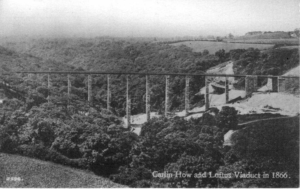
Go down carefully; there’s plenty of room to pause occasionally. At the bottom, an earth track runs alongside the railway. It’s ride-able if dry. I walked anyway; it’s only 200 yards. The interesting thing is that you are on the top of what once was a long viaduct. When it became unstable, the space beneath was filled in with earth, and it was converted to an embankment.
By a pedestrian bridge across the line (don’t cross), bear right, away from the line, then when the track splits, take the left fork up (only a few) steps. Follow the edge of a field along the now tarmac path, to reach some houses at Liverton Mines. Join the road (right) at first bungalow (called Lyndhurst). Join the B1366 at a corner, and go straight on to pass the local fish shop. If you’ve diverted via Loftus on the road, you’ve now re-joined the route.
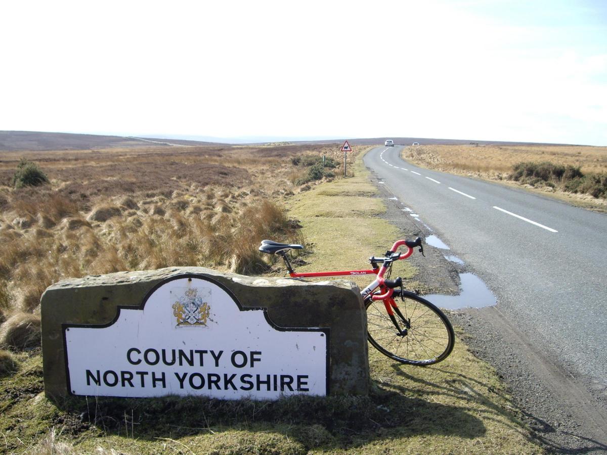
Climb gently out of Liverton Mines, to pass through Liverton (no mines) village, and reach the main A171 at T-junction. This is a busy road, so right for 300 yards, then left, signed Danby. Leave Cleveland and enter North Yorkshire. At the top of a short rise, just where Esk Dale is opening out before you, take the unsigned junction off to the left.
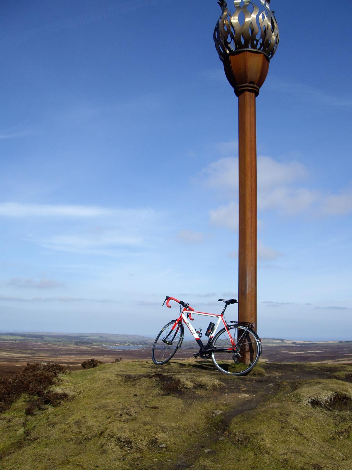
This follows the contours west, then climbs slightly to reach Danby Beacon. The beacon dates back to an expected French invasion in the 1600s. The current stainless steel version was erected in 2008. On a clear day there are wide views across the coast from Redcar to Staithes.
Pick up a sign for Danby again, and descend to take the first unmarked road on the left, then right at a T and down steeply to another T-junction, where left to pass the National Park Centre (cafe and toilets).
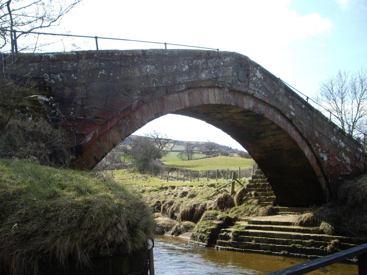
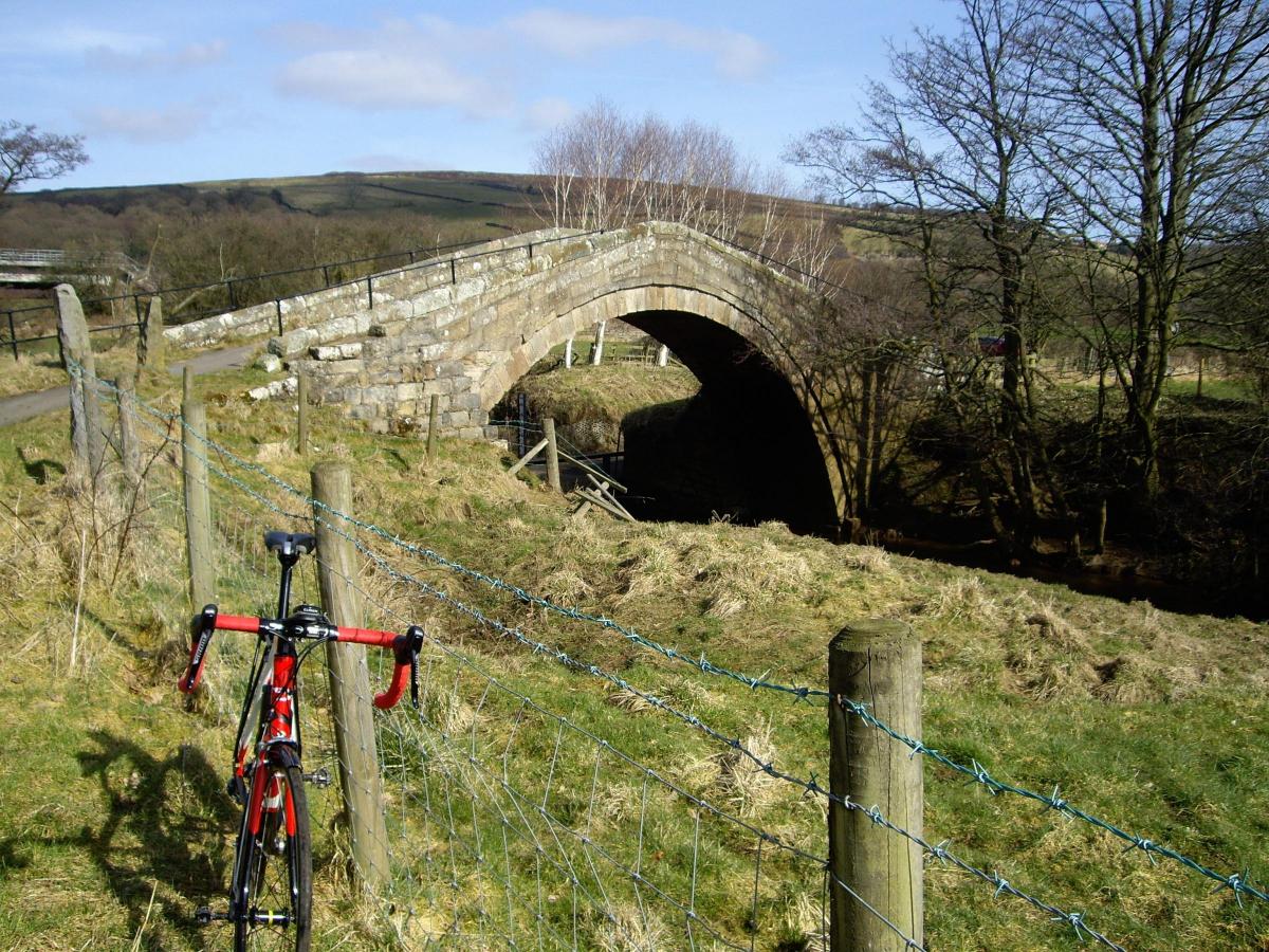
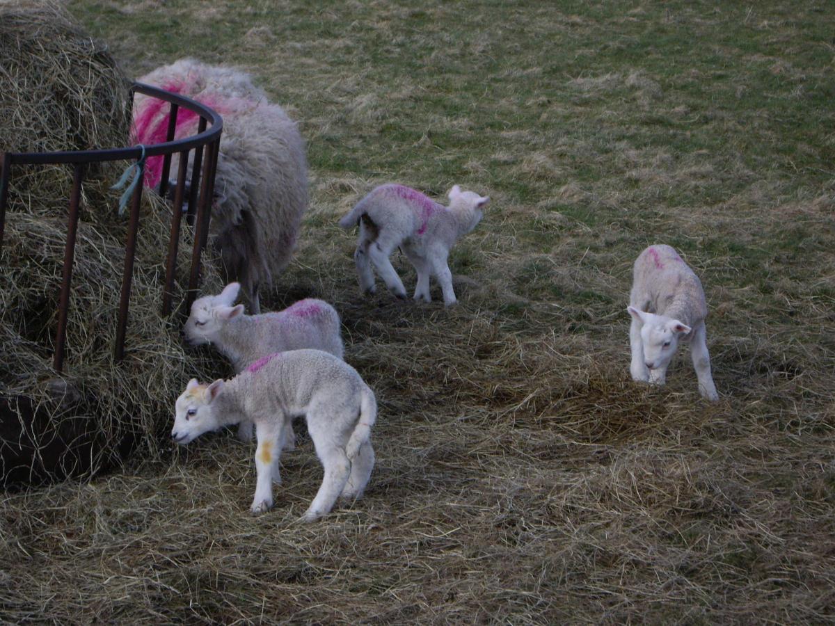
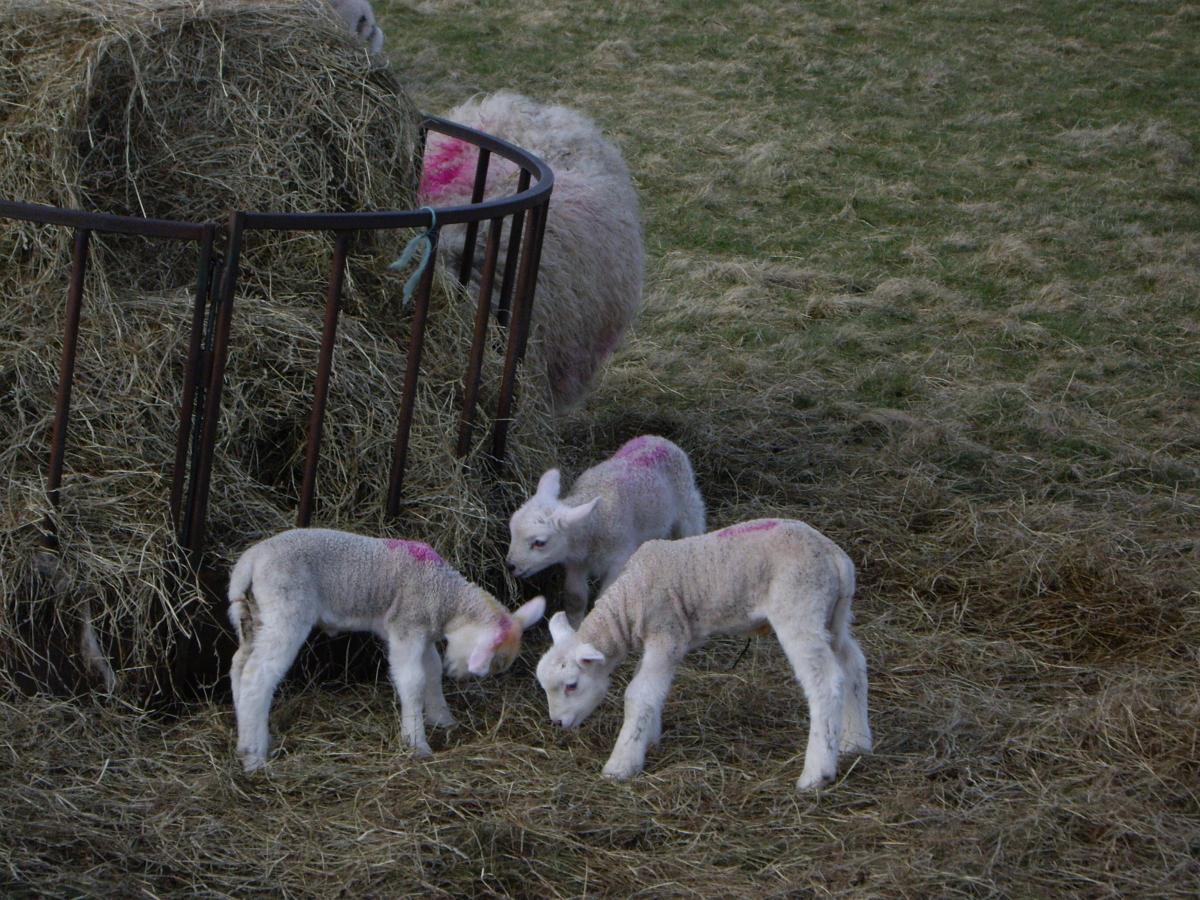
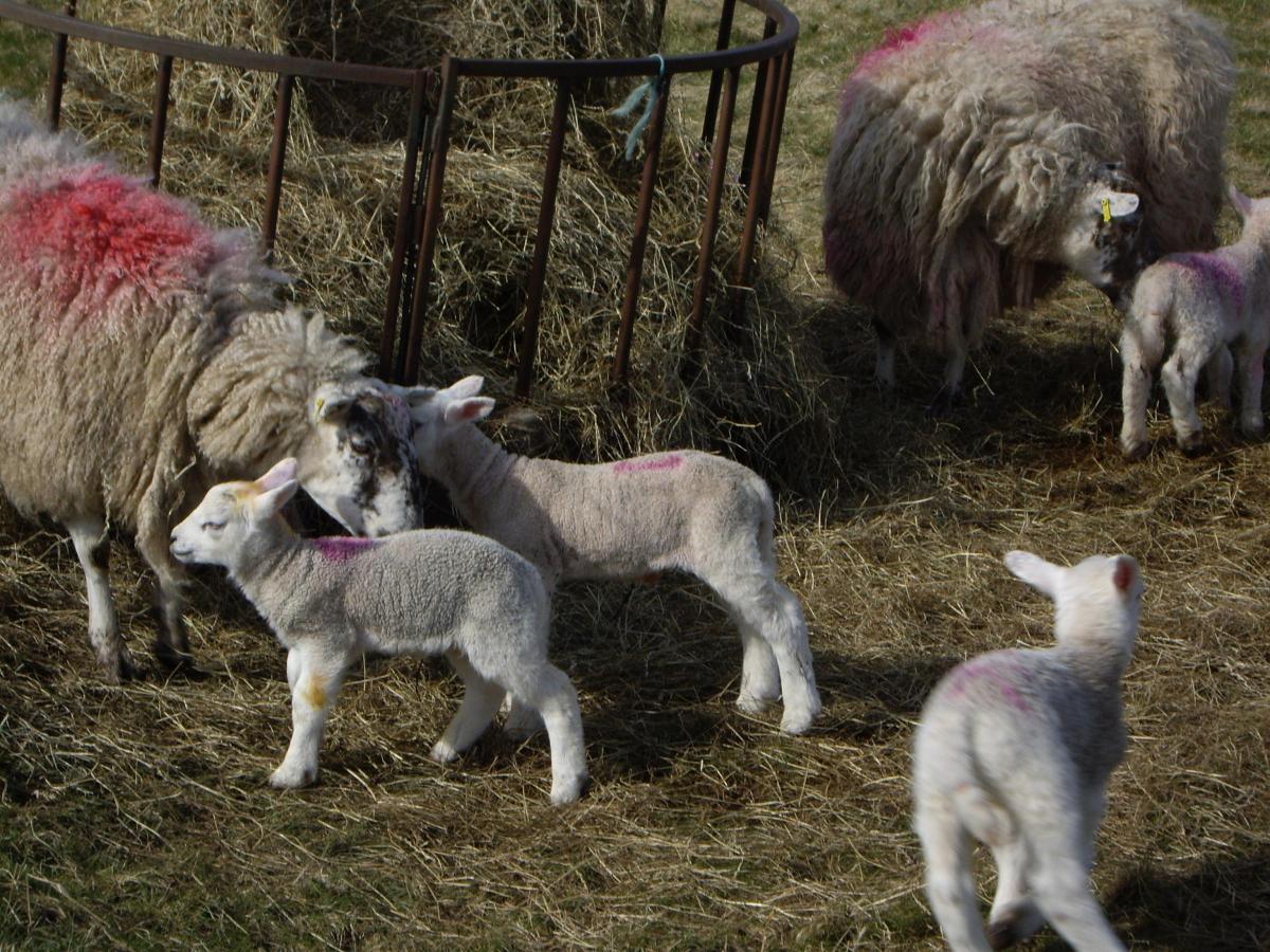
Under the Esk Valley railway, then right (unsigned, but note sign for a ford) to cross Duck Bridge, then right to follow the lane to Ainthorpe, where I encountered a field of new born lambs. Left at T-junction, then left again onto Brook Lane, to arrive at the Fox & Hounds. Lunches every day noon to 2.15pm and the Thwaites Wainwright (4.1 per cent) was very welcome.
From the pub, retrace for 200 yards, then go left on Lilac Terrace. The lane narrows, and a gate bars the way, but there’s space to go around it and climb back up to a T-junction (unsigned), where left towards Castleton. Passing the village school confirms you are on the correct road. Left at T and into Castleton. Climb to junction on right, and take this, following sign for Guisborough. Descend to pass over the river and under the railway, then climb steeply for about 300 yards.
I had a little walk up here to re-mount where the road bends right, and the gradient eases a little. At the top, watch out for Shaun the Sheep, in the bus shelter. Continue down to a T-junction with the main A171 and left still following signs for Guisborough. This is a busy fast road, but we go right in only 500 yards, signed Skelton and Lingdale.
We are back in mining territory now. Straight on for about three miles, passing through Stanghow and Lingdale to arrive at a T-junction on outskirts of Skelton. Left here, signed Saltburn, and take next right in 200 yards, still signed Saltburn. Cross the A174 Skelton bypass at a roundabout, pass Rushpool Hall Hotel, and there are good views across the rooftops of Saltburn. Descend quite steeply back to sea level, where it’s left to climb back up into the town.
Cycle ride facts
Date of ride: Thursday, March 22, 2018
The map: Ordnance Survey Landranger No. 94, Whitby and Esk Dale
The cafe: Signals Bistro, Station Square, Saltburn, TS12 1AQ, 01287 623319, signalsbistro.com
The pub: Fox & Hounds, Brook Lane, Ainthorpe, Whitby, YO21 2LD, 01287 660218, foxandhounds-ainthorpe.com/
The bike: 2016 Dolan Preffisio
Distance: 27 miles
Car parking: Free in Dundas Street West, Saltburn (west of station)


Comments: Our rules
We want our comments to be a lively and valuable part of our community - a place where readers can debate and engage with the most important local issues. The ability to comment on our stories is a privilege, not a right, however, and that privilege may be withdrawn if it is abused or misused.
Please report any comments that break our rules.
Read the rules here