
IN the 18th century in the fertile Vale of Pickering, a rather strange crop was being grown, a crop which caused much controversy depending how near to York you lived. This crop was tobacco.
It was raised, cured and manufactured by a chap who had worked in the American tobacco plantations and had the knowledge to cut it correctly and preparing it for smoking.
Several acres are reported to having been grown in the Vale of Pickering and over in the Vale of York an even larger quantity was cultivated. But there was one big difference between the two vales.
If you grew tobacco in the Vale of Pickering, you were allowed to sell it freely without hindrance from the authorities as tobacco was used to treat certain illnesses, but if you grew the same crop just a few miles away in the Vale of York you would be fined or sent to jail and the crop confiscated and burned.
The summer of 1787 was the wettest ever known – breaking rain records much as is done today in our wet summers, with hay being spoiled and crops rotting in the fields. It is recorded to have rained almost every day between harvest and Christmas giving farmers plenty to grumble about.
They grumbled about everything, weather, crops, animals and, of course, their lack of money. Too wet, too dry, poor prices for the animals at market and, of course, the price of ale was nought, but robbery.
A local physician, who served the Vale of Pickering farming community in the 18th century, said that farmers always grumble, and grumble well they do whether things are good or bad and that he didn’t believe a word they said.
In the good times, when money was being made farmers grumbled about how bad things were; they grumbled, in just the same way when there was real cause for complaint.
The physician said that you only had to go inside a farmer’s house to see the way they lived; there is evidence of comfort, sometimes even exuberance with no expense spared.
But, they were some of his best customers because if he was called to treat someone in the household the payment was prompt and in full, no doubt when handing over the money a little grumble would be justified about the price of things.
However, he had no more belief in the complaints of farmers than in the existence of a sea serpent!’
Things never change do they?
Your route
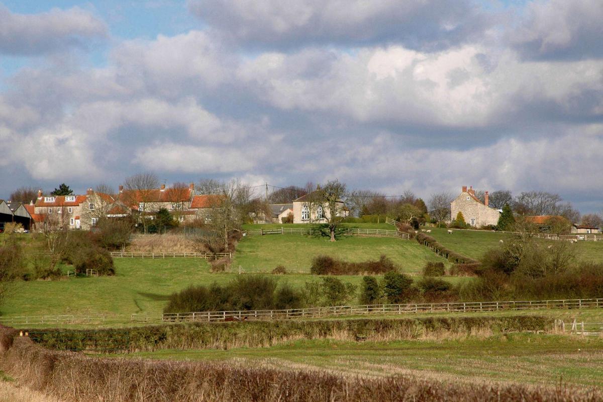
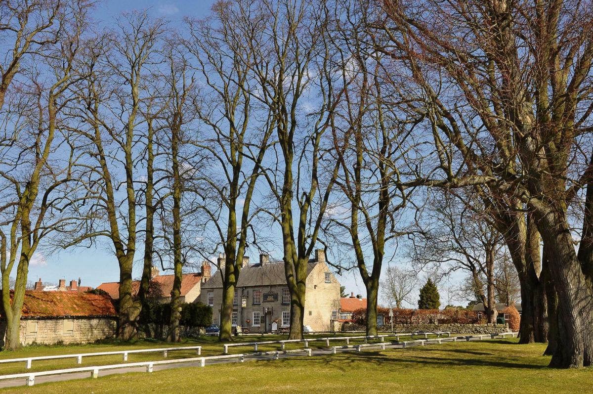
Leave Hovingham with The Worsley Arms Hotel on your left to cycle towards Malton on the B1257. In a couple of miles, you arrive at Slingsby, leave the main road here to go right signed to Castle Howard and York.
Soon start to ascend, then enjoy the ride along the Castle Howard Drive switchbacks. Just before the impressive Castle Howard park gate, turn left signed to Coneysthorpe and Malton to ride past Coneysthorpe village and start another ascent.
A few ascents and descents now for a couple of miles, then turn left along a narrow road signed to Amotherby.
Watch out for traffic along here as you crest blind hilltops and corners; enjoy the unsurpassed view across the valley to the North York Moors and the coast. At the crossroads, go straight ahead signed to Kirkbymoorside to cycle through Amotherby.
In about three miles, turn left signed to Normanby, Brawby and Kirkbymoorside to cycle through Great Barugh, then along a winding road and eventually over a fine bridge across the River Seven into Normanby.
Not far now to Marton, the pub there is called The Appletree, what a pity it doesn’t still have the fine old name that everyone in North Yorkshire knew and loved – The Spotted Cow.
Continue past Marton, then in about one mile, turn left along a narrow road signed to Great Edstone. Eventually you climb quite steeply to arrive at the village of Great Edstone.
Follow the road through the village, round the double bends following a sign for Salton, Brawby and Great Barugh. Soon start to descend to ride across a narrow, gravelly, potholed road across the bed of Lake Pickering.
In about two miles, turn right signed to Welburn then, in another two miles, at a T-junction, turn left signed to Ness and Slingsby.
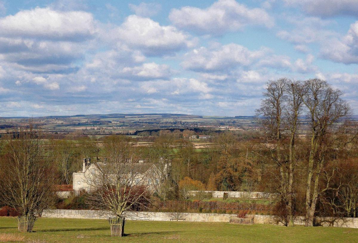
At the next junction, turn right signed to Harome and Helmsley, then at the crossroads, go left signed to Nunnington and Malton and soon you arrive at Nunnington village over a pretty bridge with Nunnington Hall on your left.
It is a long ascent now to the top of Caukley’s Bank where I suggest you stop to soak up the grand view before continuing down a very steep and slippery descent with vicious bends – please take care here.
Hopefully by now you have survived the descent of Nunnington Bank to continue along to the T-junction. Turn left here onto the busy road signed to Hovingham and Malton and in a short while you return to Hovingham, perhaps for some refreshment at the pub or café there.
The facts
Distance - 26½miles/43km
Terrain - flat and easy
Best Map - OS Landranger 100
Start/grid ref - Hovingham, grid ref: 667755
Parking - street, with respect for residents
Refreshments - pubs along the way, café and pubs in Hovingham
Public Toilets - none


Comments: Our rules
We want our comments to be a lively and valuable part of our community - a place where readers can debate and engage with the most important local issues. The ability to comment on our stories is a privilege, not a right, however, and that privilege may be withdrawn if it is abused or misused.
Please report any comments that break our rules.
Read the rules here