
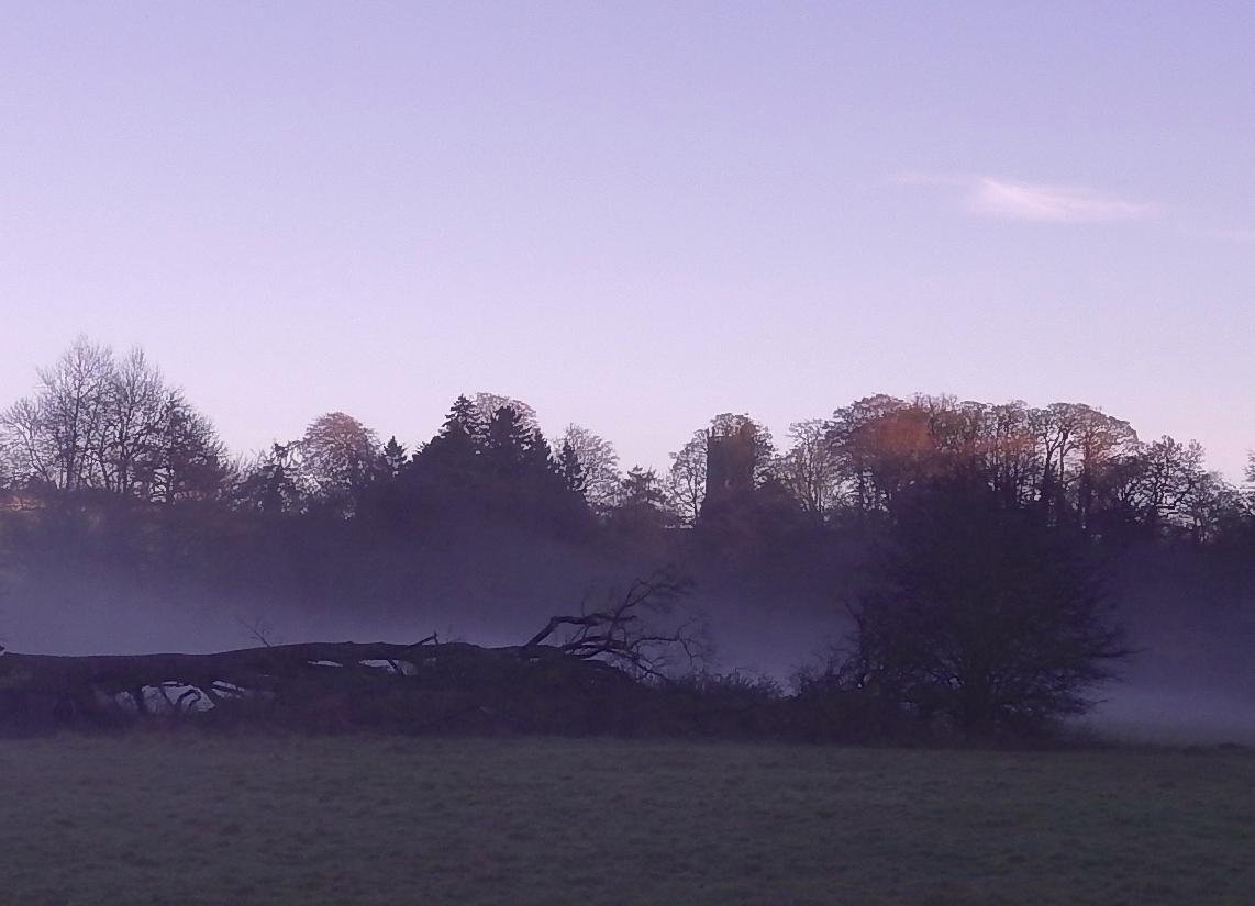
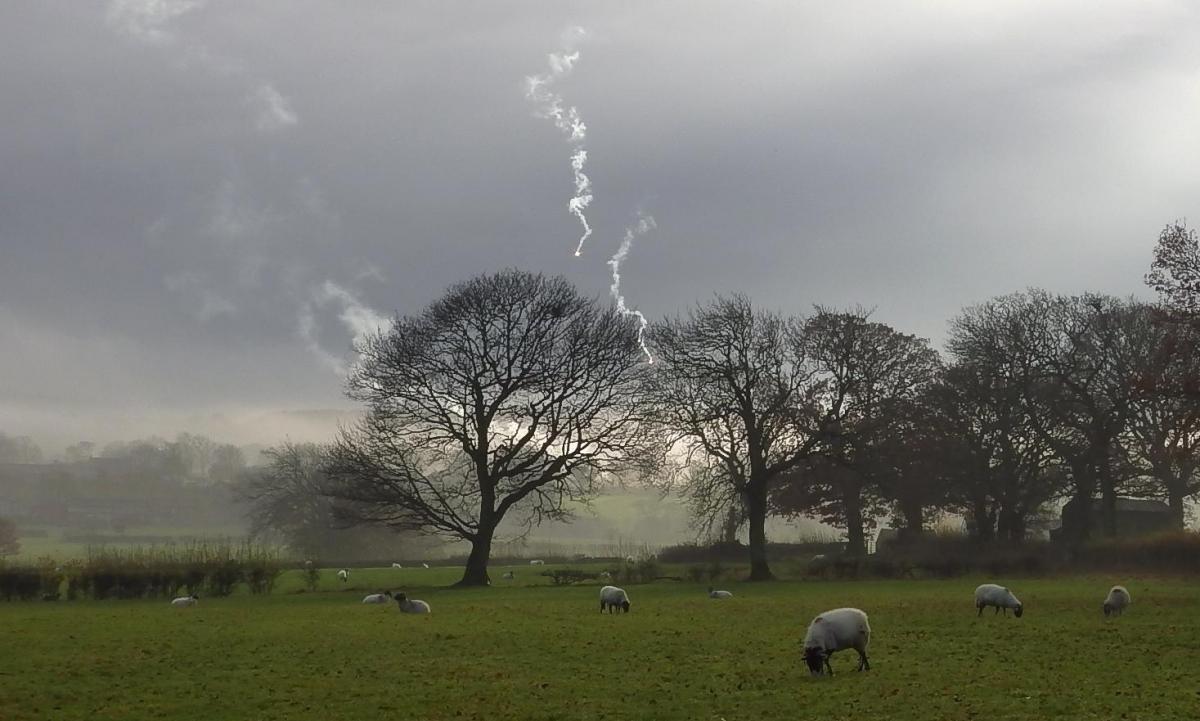
GEORGE WILKINSON navigates the mist at Hudswell and sees flares through the murk from the Army at Catterick.
HUDSWELL has the George and Dragon, and it was lunchtime and walkers were pulling off their muddy boots. Unfortunately my navigator was already gnashing at a sandwich in the village hall car park.
There, I struck up a chat with the treasurer of the village community pub, who fired up her sales pitch: £500 would buy me a share in the George and Dragon.
Needless to say, my navigator quickly intervened and turned the conversation to something more appropriate, the complexity of the local paths, and acquired useful information.
A day-glow runner said “you won’t see much” and we headed off to Richmond in the mist.
After half an hour, "just when you would have been in the pub", we got a show courtesy the army at Catterick. Flares fired through the mist in a pretty place of meadows, shaggy hedged pastures and birdsong trees.
Generally, our outward route was along the top edge of a steep valley; we could hear, not see, the River Swale, hundreds of feet below. Now and then a National Trust sign gave the name of a wood.
Then the sun burst through the sky and lit the outskirts of town. I set my camera and imagined an image of Richmond, of the red and white English Heritage flag hanging high on Richmond Castle with a convoy of Range Rovers on Richmond Bridge.
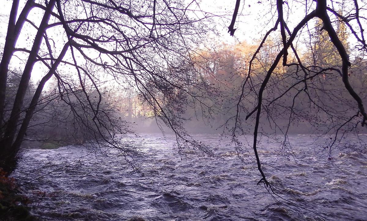
That didn’t work, seagulls circled and we turned up the river. Up river was best, so to keep an eye on Swale flooding down; it would have been unnerving on the lower paths with angry cold steel water agitating at our heels The National Trust has had the land since 1938. When I reported from here in the winter of 1998, there were 102 sycamores, “relative newcomers ” marked for the chop to favour the “long-time resident ash”.
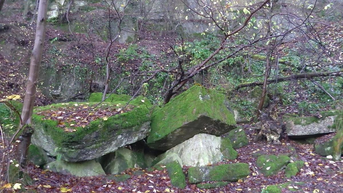
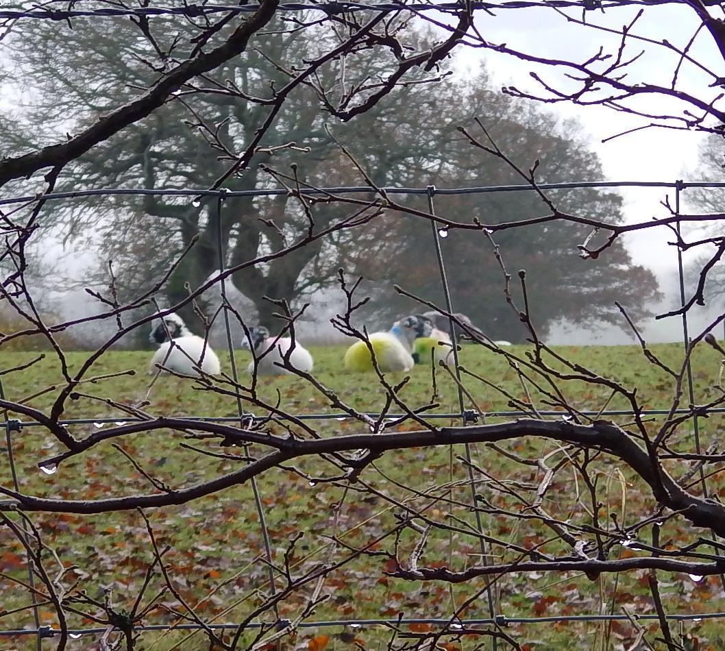
The woods are tended for people and wildlife and are lovely. Ash, beech and oak stretch up and up for the light, winter ferns brighten the floor and, for the midnight rambler, there’s a chance of an otter; last year a friend’s Labrador found a little pile of three crayfish heads.
National Trust Shetland ponies seemed a tad shy, tucked away in a cushion of mist that lay on the grass space curved by the river, in the all-day shadow and cold.
Our exit from the valley was abrupt, via 250 steps made by German prisoners during the Second World War. We emerged near The George and Dragon and I should have had a pint of lager, in appreciation, if not financial self-interest.
Directions
When in doubt look at the map. Check your position at each point. Keep straight on unless otherwise directed. (wm=waymark, fp=fingerpost).
1. Left from Village Hall Car Park, 50 yards, stile/gate on left (fp Hudswell Banks), downhill, stile to path angling left near fence for 100 yards.
2. Into wood, ten yards, right at junction, step over beck, stile (National Trust sign), 12 steps up, snickelgate and left by wood, gate (wm), gate (wm) into wood, path, stile out (fp), grassy path, gate (fp/wm) and left by hedge, stile (wm).
3. Stile into woods at paths junction (large ‘public footpath’ sign in tree, wms), by wall 150 yards, stile into field and diagonally left 50 yards, stile in hedge to path by wood, squeezer, stile, hedge gap. Stile into Round Howe Wood (National Trust sign), SHEER DROP by path, 50 yards, stile out (wm), 100 yards.
4. At post (wm/‘stile’ sign), 50 yards diagonally to stile, 1 o’clock, 100 yards, broken stile/stones, 50 yards, stile, 50 yards, stile (wm), 2 o’clock, stile (wm), 50 yards. Stile (wm) and 1 o’clock across large grass field via grassy gully to wood-edge path.
5. Large snickelgate into wood (Richmondshire Council sign), wide path, downhill.
6, Left to pavement, 25 yards, path (fp) on left by river. The lowest, riverside path was flooded. We took steps uphill, STEEP DROP. At left fork uphill, go downhill.
7. Footbridge (Billy Bank Wood sign) and, if river not in flood, immediately steps on right downhill and stay by riverside path, gate and around field by river, snickelgate.
8. Pass footbridge to car park/PC and continue by river then path goes uphill. Footbridge below waterfall, ignore right fork.
9. Left uphill at steps with handrail, stile (wm), 1 o’clock across field, stile (wm), path, squeezer and left through village.
Fact file
Distance: Four miles.
Car parking: Hudswell Village Hall.
Right of way: Public and open access.
Date walked: November 2014.
Tourist information: Richmond TIC 01748 850549.
Refreshments: George and Dragon at Hudswell, and Richmond.
Public conveniences: Round Howe car park, and Richmond.
Map: OS Explorer 304 Darlington and Richmond.
Terrain: Valley rim and riverside.
Difficulty: Moderate.
• Please observe the Country Code and park sensibly. While every effort is made to provide accurate information, walkers set out at their own risk.


Comments: Our rules
We want our comments to be a lively and valuable part of our community - a place where readers can debate and engage with the most important local issues. The ability to comment on our stories is a privilege, not a right, however, and that privilege may be withdrawn if it is abused or misused.
Please report any comments that break our rules.
Read the rules hereComments are closed on this article