
GEORGE WILKINSON heads to Moorend for a nice easy walk on the fringes of the North York Moors.
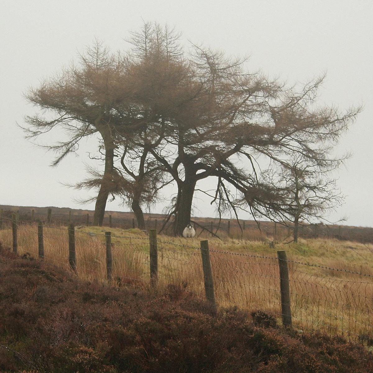
MOOREND is the start of the moors; north there is heather for miles. As we pulled on our boots at 800 feet, the cloud settled, rubbing out horizons.
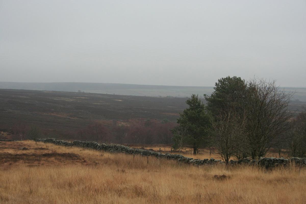
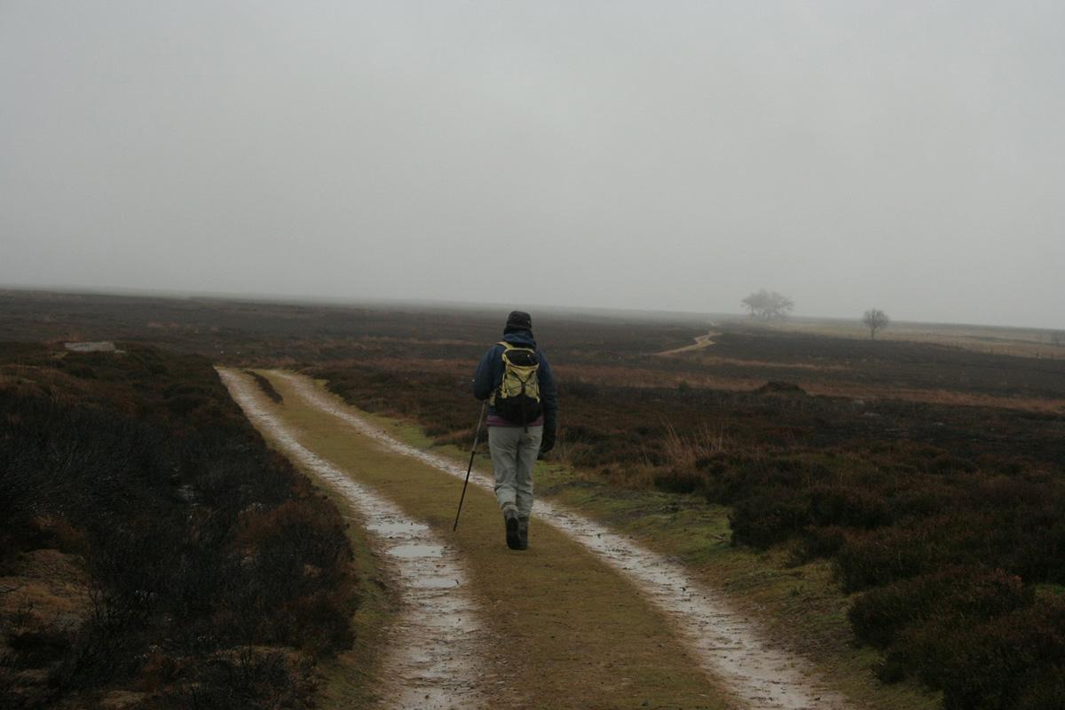
A medieval track named Rudland Rigg leads into the heart of the North York Moors and we took this for a while, in the mist cum drizzle, but did not penetrate far, and swung round for an interesting little exploration of the fringes.
A snipe type zigzagged away and grouse kept low. Clouds of quite small flying insects danced above and around the larger heather plants. The day was silent, with soft focus views and firm tracks, so far so good, the only gymnastics a slippery five-rung ladderstile.
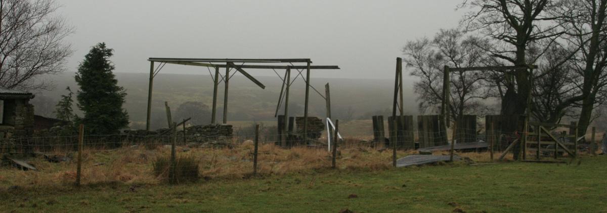
Harland is a farm, on an island of fields in the heather, where the skeleton of a ruined barn hung askew and a rabbit warren has riddled a slope. Bunnies were scampering in the mild midwinter afternoon.
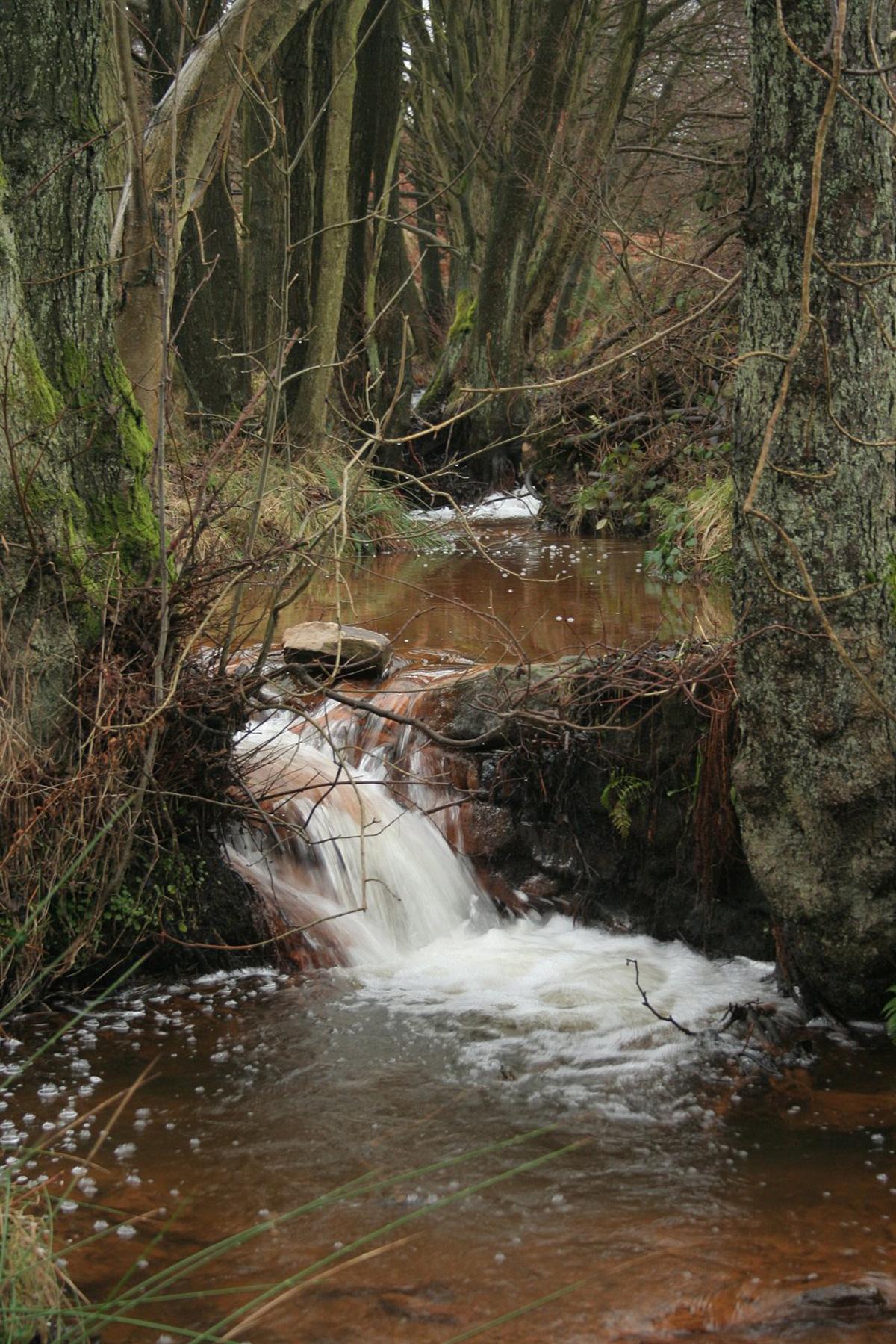
Across a pasture, beyond ash trees, are the grassed-over mounds of coal pits that were reopened during the miners’ strike of 1926. Harland Beck runs rust red at the footbridge, the iron is from a nearby spring.
There’s another near view, to Harland Moor, that in the 1980s was flagged up by the Nature Conservancy Council as a ‘limited area’ where “nature conservancy can be given a priority”.
As we walked back to the car park, a flock of fieldfares flew over, just like the 30 or so birds that raided my holly tree the other week. Near a million come over every winter, for our berries but also, it is reported, for our swedes that are ‘attacked in the field’.
There was little other movement and, over the last leg on the lane there was little traffic as there is no through road – just a gamekeeper’s black pickup, a quad bike and, flashing from afar, a cyclist pedalling into Bransdale.
Directions
When in doubt look at the map. Check your position at each point. Keep straight on unless otherwise directed. (wm=waymark, fp=fingerpost).
1. From parking area with info boards, track uphill (unsuitable for motor vehicles sign), pass quarry, 200 yards.
2. Track on right (SSSI sign after 30 yards), barrier gate. Ignore left fork and pass three conifers.
3. About 200 yards before fieldgate/snickelgate, path on right (small cairn) through heather, downhill by wall to left.
4. Ladderstile (wm) and immediately right, 20 yards, left-hand gate, downhill by wall to right, gate (wm), left to track at farm buildings.
5. Gate into yard (wm) and right (wm), gate (wm) out of yard by barn, across field, gate (wm), field-edge path downhill, gate (wm), 200 yards, grassy track swings right downhill.
6. Steps and footbridge over Harland Beck, left on path uphill, through ruined wall at corner to peaty path, bridge and gate (wm), path towards then through trees.
7. Gate and right to road.
Fact file
Distance: Three miles.
Car parking: Free area, info boards.
Right of way: Public paths and Open Access area.
Date walked: January 2014.
Refreshments: Gillamoor and Kirkbymoorside. Tourist information: Pickering TIC 01751 473791.
Map: OS Explorer OL26 North York Moors western area.
Terrain: Moorland fringe.
Difficulty: Quite easy.
Please observe the Country Code and park sensibly. While every effort is made to provide accurate information, walkers set out at their own risk.


Comments: Our rules
We want our comments to be a lively and valuable part of our community - a place where readers can debate and engage with the most important local issues. The ability to comment on our stories is a privilege, not a right, however, and that privilege may be withdrawn if it is abused or misused.
Please report any comments that break our rules.
Read the rules hereComments are closed on this article