
George Wilkinson keeps a weather eye on the sky in Glaisdale.
GLAISDALE, the village, is long, straggly, steep and mostly avoidable for today's walk and unfortunately the Arncliffe Arms was a mile away down by the River Esk.
So we made for Glaisdale the valley and, after a jink around a jigsaw pattern of fields, we got a good idea of what was what.
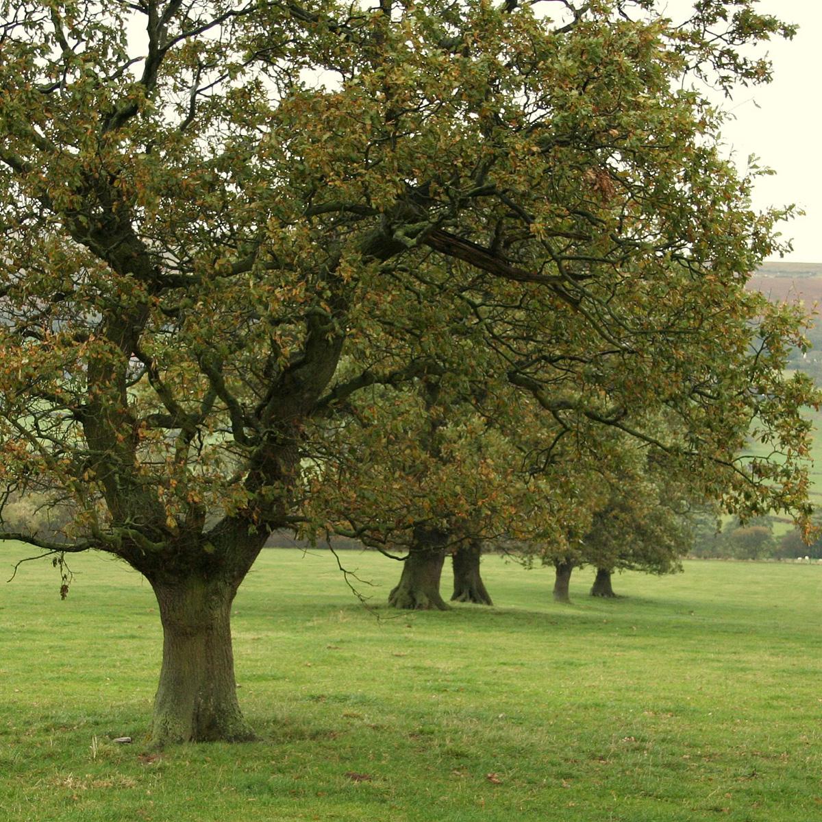
The valley is three miles long and nearly a mile wide, regular, lightly wooded, lightly populated, fairly flat and open, and with many grass fields that have walls or hedges.
Glaisdale Beck runs clear and wiggles up the middle. We churned between muddy gateposts, slithered through the edge of wood and avoided old sandstone flags or trod, as these were extra-slippery.
We kept an eye on the weather, significantly the wind, the rain and the clouds on the moors, made mindful of the daylight after a late start. As a result, we decided to take to the valley loop road and didn't regret it.
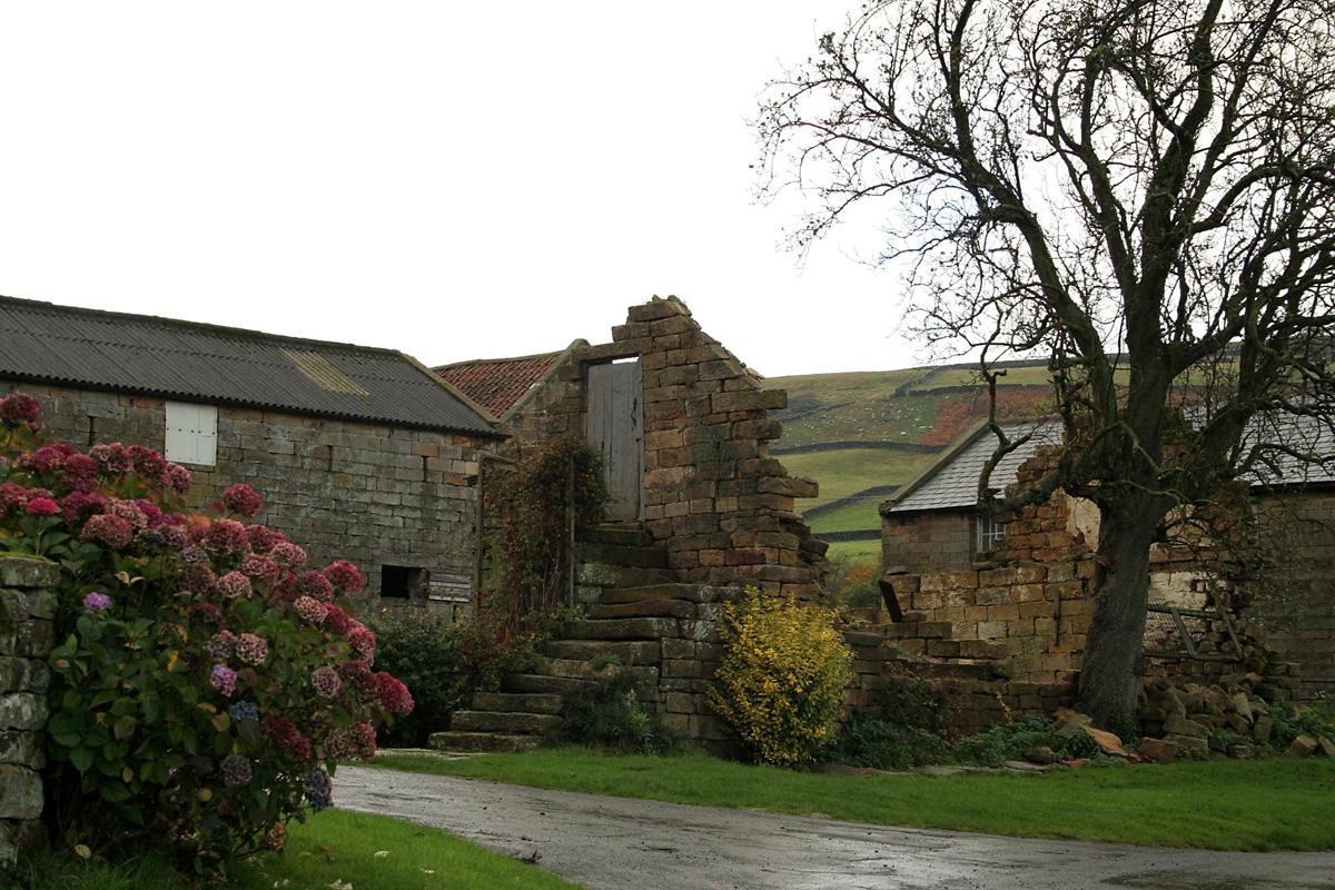
The traffic was but one Land Rover. The tarmac was smooth: take note, cyclists. Every half a mile is a sandstone cottage, a farm, or a farm-cum-holiday cottages; it is a nice, English country lane, with a wind turbine and quite tended.
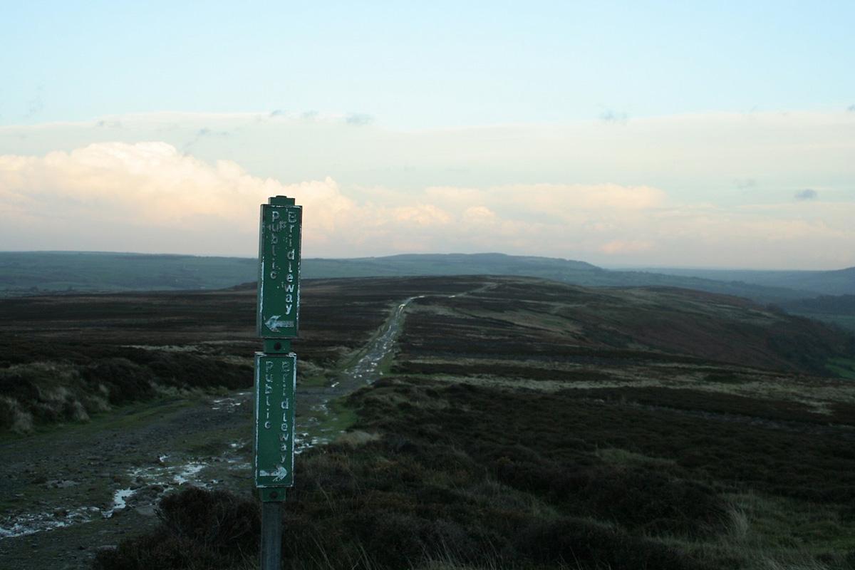
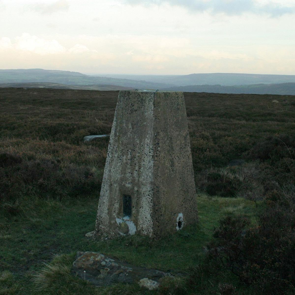
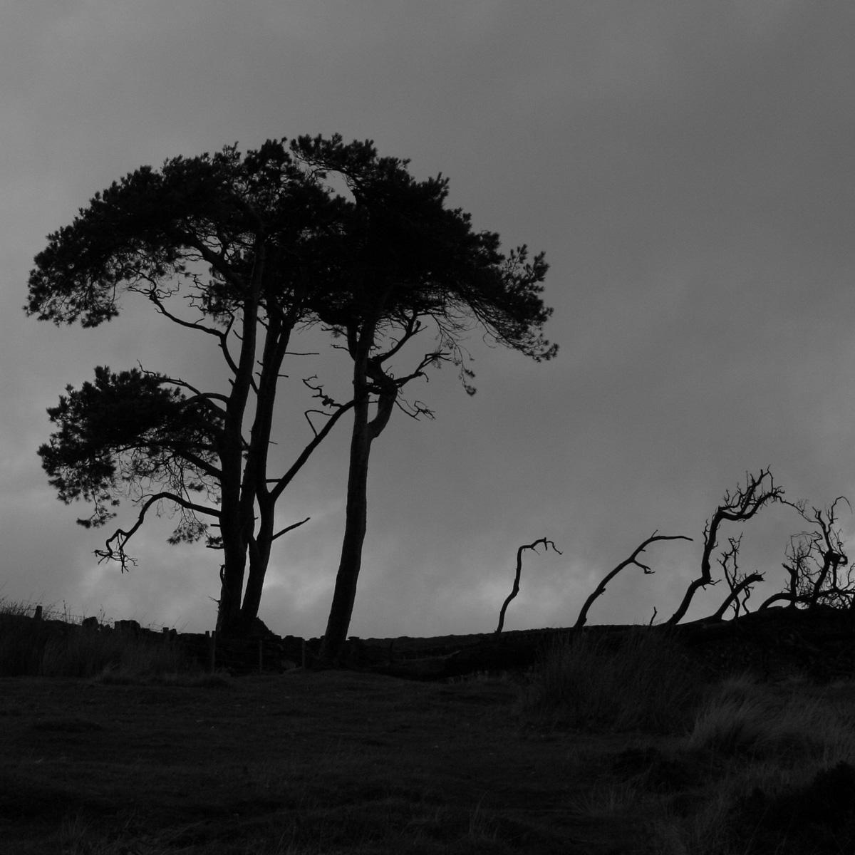
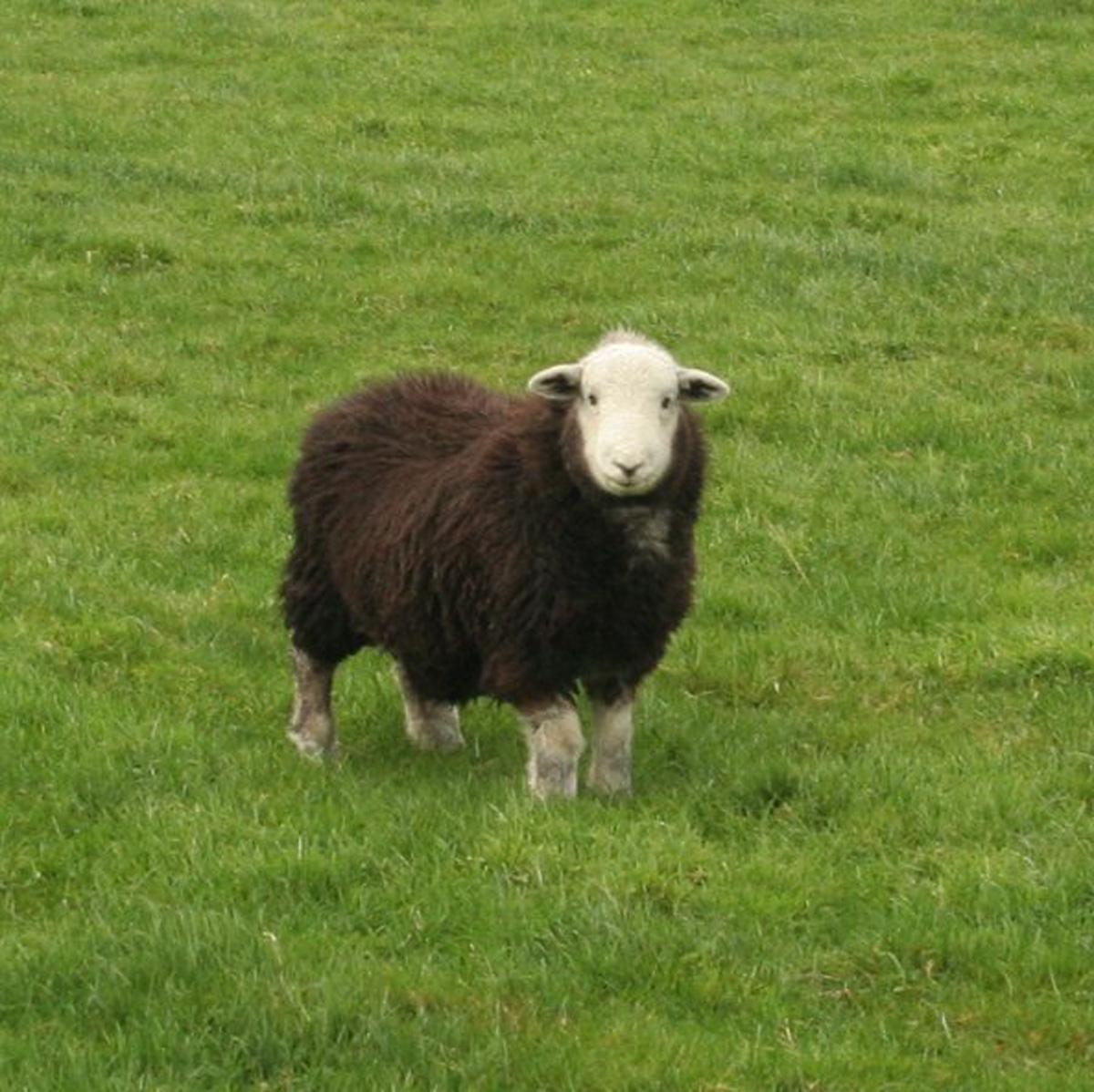
Three miles on there are tough Herdwick sheep, at the head of the valley, where there is not an easy way out, as it's a 500ft climb to the trig point on Glaisdale Moor at 1,070 feet. Once up, we tucked away the compass and did not linger over the views, did not see the sea and hardly registered adjacent Great Fryup Dale because the westerly wind energised and drove in rain, and there were two miles of ridge to walk, along the track of Glaisdale Rigg.
It was a fast descent, blown downhill, arms out for balance, and just as well, as the moors became darker and darker. Eventually, there were the lights in the Esk Valley. Just in time, for the air seemed to warm and an electrical storm lit the North York Moors and threw down hail.
Directions
When in doubt look at the map. Check your position at each point. Keep straight on unless otherwise directed. (wm=waymark, fp=fingerpost)
1. Right uphill from post office/shop, left at triangular green (Hall Lane).
2. Gate (fp) on left into farmyard, gate, stile (wm) out, 50 yards down field, right, cross field, gate (wm), gateway, old gate, near fence, gate in corner by rough slope, left to path downhill then angle right, downhill, right to school drive.
3. Cross road, gate (sign) by Red House Farm, down drive, gate to long narrow field, gate, gate (wm).
4. Right, gateway, track downhill, becomes hedged, track turns right (FP), gate, footbridge over Glaisdale Beck. Angle uphill across field to gate (wm) by hollowed oak, 1 o'clock for 200 yards, left uphill (three-way fp), gate by shed, uphill by fence.
5. Right to path just below wood edge, stepstream, gate (wm), grass path, gate (wm) into wood, gate out, gate into yard, through yard, track.
6. Left to road, mostly verge.
7. Left at junction (Rosedale), immediately gate on right into field (sign), up by wall to your right, gate (wm) up by wall to your left.
8. Gate in corner, then left steep uphill by wall for 100 yards, or zigzag. At gate to your left near pines, right to faint path and contour for a few hundred yards, to find a grassy track uphill. That is what we did, not quite the route on the OS map. There seem to be a number of faint paths.
9. Right to good track with trig point nearby. Two miles.
Fact file
Distance: Eight miles.
General location: North York Moors.
Car parking: Roadside in Glaisdale.
Right of way: Public.
Date walked: November 2013.
Refreshments: Arncliffe Arms, Glaisdale.
Tourist information: National Park Centre, Danby 01439 772737.
Map: OS Explorer OL27 North York Moors eastern area.
Terrain: Valley and ridge.
Difficulty: Moderate if fair.
• Please observe the Country Code and park sensibly. While every effort is made to provide accurate information, walkers set out at their own risk.


Comments: Our rules
We want our comments to be a lively and valuable part of our community - a place where readers can debate and engage with the most important local issues. The ability to comment on our stories is a privilege, not a right, however, and that privilege may be withdrawn if it is abused or misused.
Please report any comments that break our rules.
Read the rules hereLast Updated:
Report this comment Cancel