
A Farndale walk leaves George Wilkinson with a peaceful easy feeling.
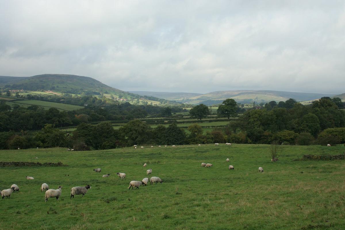
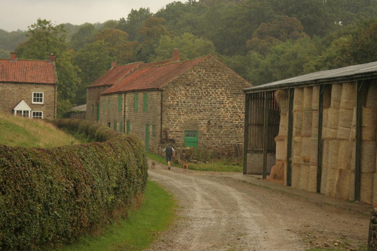
FARNDALE has, at its southern end, a place named Lowna, as lovely as it sounds, where the barn was full of dry crops, the River Dove ran clear, and the valley, a nature reserve, was peaceful in the warm autumn rain.
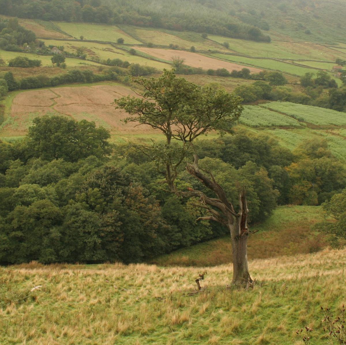
Hazel leaves turned yellow in the scented woods, acorns crunched and the sun ushered out the mists. We ambled along to the scuff of our boots and a soft hissing in the tree tops, with the waymarks fresh and the navigation relaxed, on an old green lane that tracks north for miles, through the riverside woods, never very far from the river, with every now and then a cottage deep in the trees or across a space of sheep pasture. These spaces offer two penetrating views north, the last to the rims of the moors.
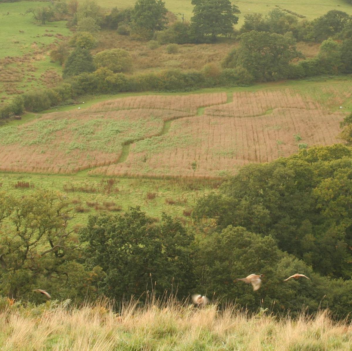
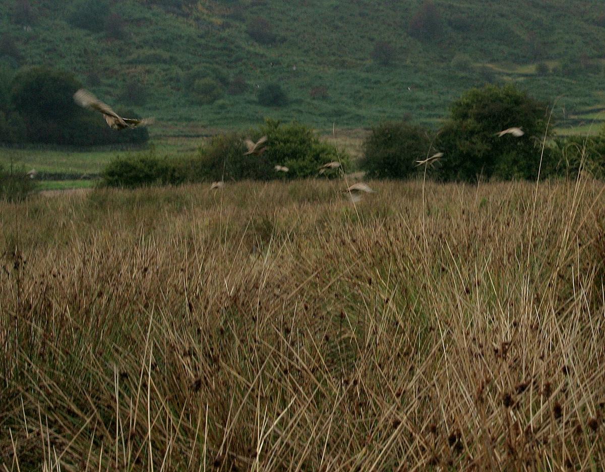
However, autumnal mellowness decreased as the density of pheasants increased. The birds made Farndale nervous.
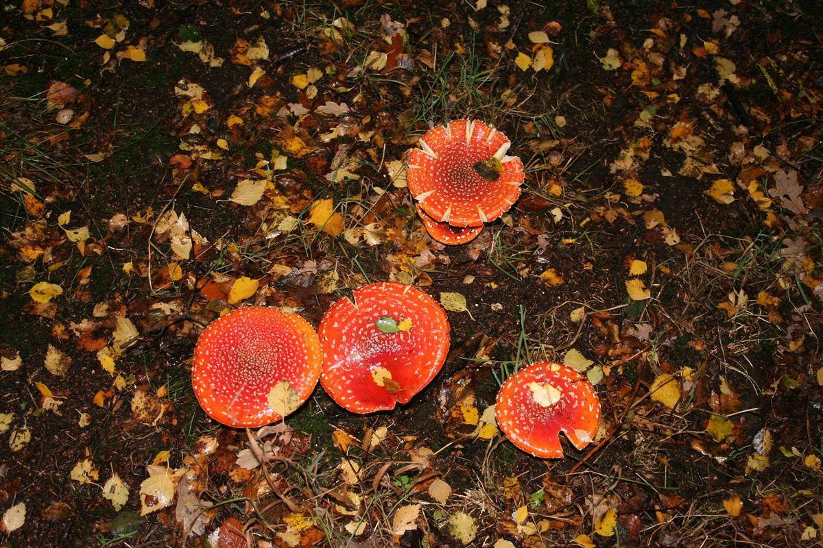
We crossed the river and turned south. The rain held off, but the bracken has come back over lengths of the path; either the arching wet fronds gave us a soaking or our waterproofs gave us a steaming. In better places, the canopy of the oak and its associates had kept the floor clean and congregations of dangerous red fungi glowed in the half-light.
The last half mile of this walk can leave one with a peaceful easy feeling, due to the Dove, the daffodils (if you’re here at the proper time) and the small burial ground for Quakers where a 1954 metal sign states that 114 were buried between 1675 and 1837.
However, a new and National Park information board adds some tang, a surprising barb or two, informing that Quakers are here because they were denied churchyard burial, because, in part, they would not “doff their hats to lords and magistrates”.
Directions
When in doubt look at the map. Check your position at each point. Keep straight on unless otherwise directed (wm=waymark, fp=fingerpost)
1. From car park, left to road downhill, bridge, track on left.
2. Fork left (fp) uphill, gate to wood (wm) and fork left downhill.
3. Pass bridge, gate (fp), pass cottage, gate into wood, track, gate, cross grass field.
4. At and below cottages, gate (fp), 50 yards by garden, gate to grass track in fields, gateway, gate. Gate and right to track (Low Mill fp), ford small stream, gate.
5. Cross track in trees (fp), uphill, gate, gate, ford small stream, through yard of cottage, rejoin track (fp).
6. At house and barns, gate on left (fp), downhill, gate, right, 50 yards on faint path by rushes, gated footbridge, left (wm), boards, uphill, stile (wm), stile (wm), stile (wm) on left, 50 yards diagonally uphill, gate (wm), diagonally left across field towards house.
7. Gate (wm), right , 20 yards, left to track above barns and house, gate (wm) to moor and bracken, ford small stream, gate (wm), track through field, gate into farmyard, gate out, 25 yards.
8. Fork left to grass track diagonally downhill (wm post on ground), gate (wm) into wood. At fieldgate, stay in wood and right to path by wall (old broken sign). In open area, left to path downhill (fp).
9. Just before footbridge, right to riverside path.
10. Before gate and buildings, right uphill (wm), snickelgate on left (wm), path, right before sidestream (fp), footbridge, up to car park.
Fact file
Distance: Five miles.
General location: North York Moors.
Start: Lowna.
Car Parking: Free car park, info board.
Right of way: Public.
Date walked: October 2013.
Lavatories: Hutton-le-Hole.
Refreshments: Hutton-le-Hole.
Tourist information: Pickering TIC 01751 473791. Map: OS Explorer OL26 North York Moors western area.
Terrain: Valley.
Difficulty: Moderate.
• Please observe the Country Code and park sensibly. While every effort is made to provide accurate information, walkers set out at their own risk.


Comments: Our rules
We want our comments to be a lively and valuable part of our community - a place where readers can debate and engage with the most important local issues. The ability to comment on our stories is a privilege, not a right, however, and that privilege may be withdrawn if it is abused or misused.
Please report any comments that break our rules.
Read the rules here