
George Wilkinson heads out of Pickering and diverts himself away from amusement.
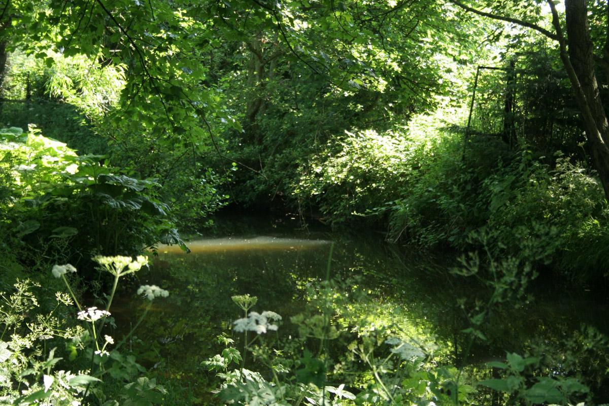
PICKERING bells rang out the half hour, near noon, on a Sunday. People, locals, filtered south from the town, under the hot sun, to the shade and cool of the banks of Pickering Beck.
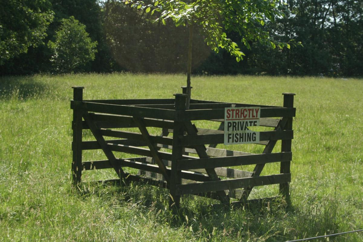
An aluminium framed Flood Defender board protects an old cottage door, Some 12,000 years ago, after the glaciers, this was Lake Pickering and these days, after rain, this route is best avoided. Sticks were thrown for dogs, thick streamers of water crowfoot swayed, their white flowers floating.
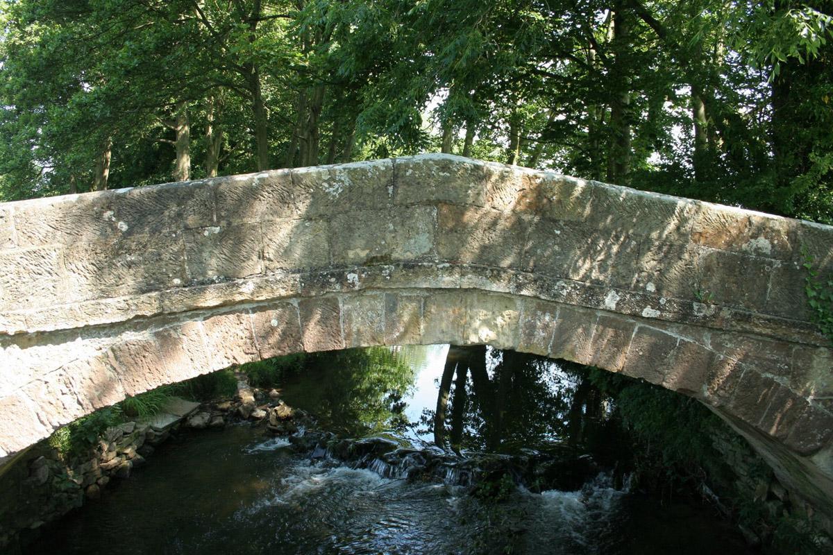
The beck flows on, over a mill weir, otherwise barely downhill, the land is very flat and, after a while there is a sandwich stop, on a bench, under a tree, by a charming medieval packhorse bridge. You would not know that nearby is a gas well and, a little further, a natural gas processing plant.
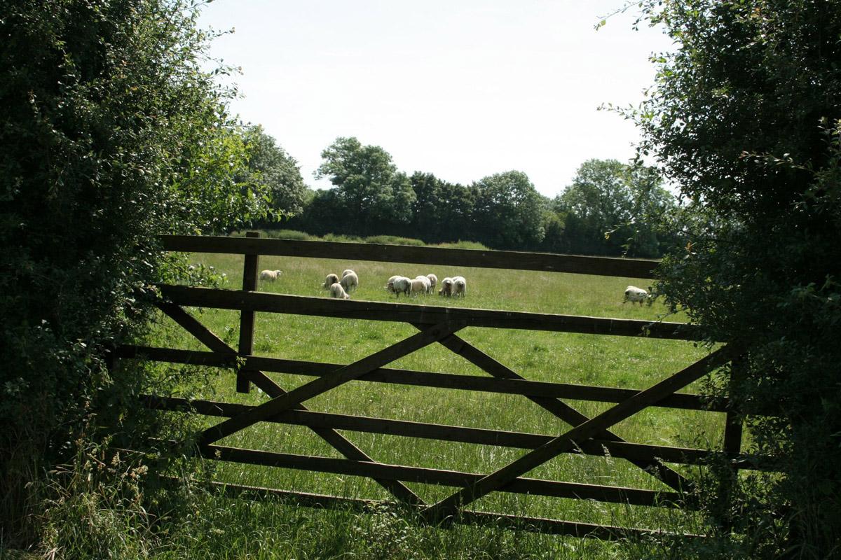
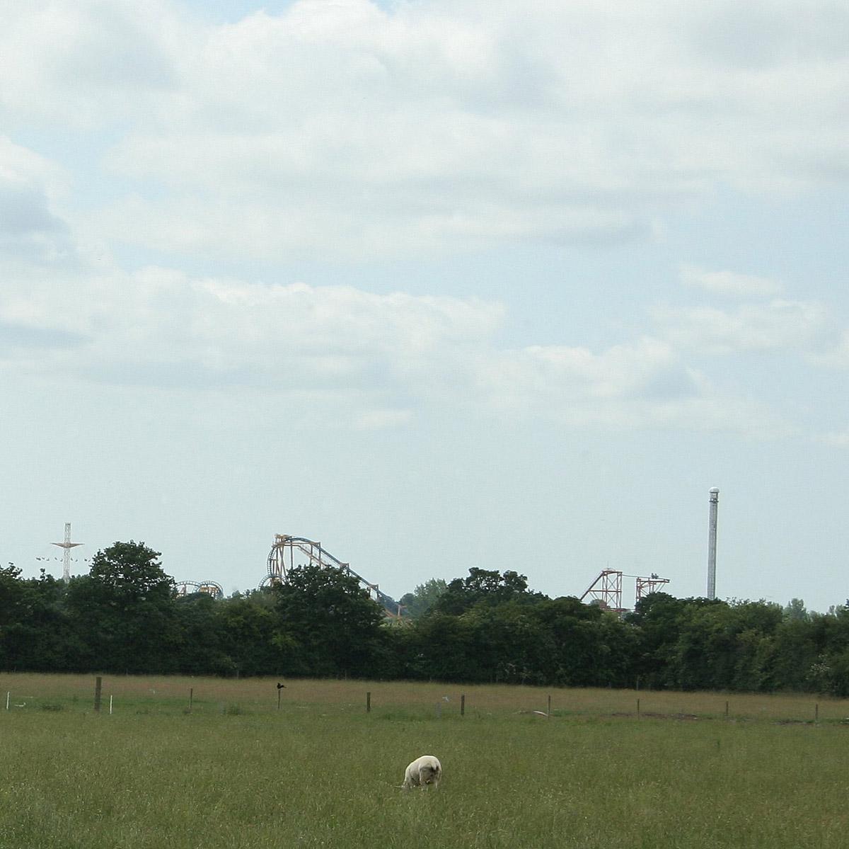
You will hardly register Ings Lane, despite being close for a mile. This narrow, quiet road heads towards Kirby Misperton and the Flamingo Land amusement park, with its two million visitors a year. So, well before, we changed direction on to the agricultural land of straight drainage ditches and canalised streams.
A crow harried a pair of buzzards, without much effect. A mile away, showing above a line of trees, were some of the constructions at Flamingo Land, a gantry, a tower, and a carousel.
At this distance, the machines pulsed and spun silently; the occasional human scream weaker than the larks' song. Hanging from a rich high hedge was a silken nest seething with hairy orange caterpillars.
It is clear from the less than cleared footpaths that not many walkers stray on to this zone. There are few waymarks and where, for half a mile, there are a number of path options, there is an awkwardness of wire, ditches, crops, and overgrown stiles.
As relief, the very nice track of Yaud Sike Lane leads to a Four Lane Ends and the intricate ways and routes back into Pickering.
The town of steam trains, motte and bailey castle and a museum held hot tourists.
Directions
When in doubt look at the map. Check your position at each point. Keep straight on unless otherwise directed
1. From Eastgate car park entrance, cross main roads and negotiate roundabout via traffic islands to Forest and Vale Hotel, along Malton Road for 100 yards, right to Recreation Road, 200 yards to its end, path (fingerpost) to side of building, 100 yards.
2. Path on left (fingerpost). Right to road, 20 yards, stile/gate on left (fingerpost), grassy track through field, 300 yards. Fork right to path/track which mostly keeps close to Pickering Beck, 9 stiles, wire fence, gate. In a field corner the path is overgrown for 20 yards then through trees (few waymarks).
3. Right to road, immediately over bridge next to packhorse bridge, immediately stile on left (usage route) and right across field corner 200 yards, left by hedge (homemade post), stile in corner and left to road.
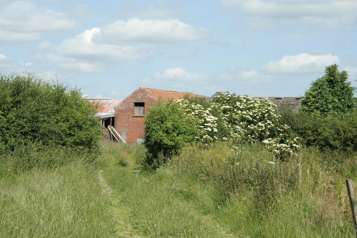
4. Metalled track on right (Combined Ings Farm sign). At corner, straight on to stile/fieldgate to field-edge path, stile and footbridge over ditch, field-edge path overgrown and by large hedge.
5. Just before the corner the right of way cuts 50 yards across the field but it's easier to go round the edge, track bridge on right, right to track for 50 yards, footbridge (fingerpost) on right back back over ditch, gate, through field, hurdle gate, join track.
6. Where track swings right over ditch, continue through field, string of wire barrier, 200 yards, footbridge and gate on right in hedge before fieldgate and, differing from OS map, left to field-edge, right-hand corner, under wire, ten yards and EITHER under wire to stile on left and immediately right, OR second stile (waymarked) on left about 100 yards further on if blackthorn cut back and immediately right, left at field corner, 100 yards.
7. Hedged grassy track on right (waymark).
8. Right-hand bend and stay on main track. Cross road at junction. On right-hand bend, straight on to track by side of mill (no sign), 200 yards, gate, fenced path, stile, riverside path. Bridge on right to rejoin outward route or straight on and join road, pavement.
9. At traffic lights, cross A170, along The Ropery, right to Market Place, uphill then downhill, left to roundabout, cross A169 Whitby Road and return to car park.
Fact file
Distance: Six miles.
General location: Vale of Pickering.
Start: Pickering.
Right of way: Public.
Dogs: Legal.
Date walked: July 2013.
Car parking: Eastgate and other carparks, or roadside.
Lavatories: Pickering.
Refreshments: Inns and cafes, Pickering.
Tourist information: Pickering TIC 01751 473791.
Map: OS Explorer OL27 North York Moors eastern.
Terrain: Flood plain.
Difficulty: Moderate.
Please observe the Country Code and park sensibly. While every effort is made to provide accurate information, walkers set out at their own risk.


Comments: Our rules
We want our comments to be a lively and valuable part of our community - a place where readers can debate and engage with the most important local issues. The ability to comment on our stories is a privilege, not a right, however, and that privilege may be withdrawn if it is abused or misused.
Please report any comments that break our rules.
Read the rules hereComments are closed on this article